Shāhjānpur night lights from space
Night Light of Shāhjānpur (Uttar Pradesh) from space (India) Src. Average luminocity for 10x10km area is 67.8598% and for 50x50km: 9.8485%.
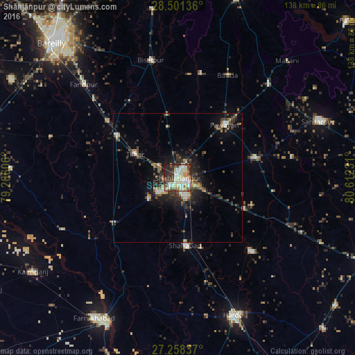
Analysis of Shāhjānpur night lights 2016
Square area 10x10 km:
 10.98%
90-99
21.59%80-89
17.05%70-79
5.49%60-69
5.11%50-59
5.68%40-49
10.98%30-39
9.09%20-29
10.23%10-19
3.79%0-9
0%Square area 50x50 km:
0.81%90-99
1.56%80-89
1.29%70-79
0.87%60-69
1.04%50-59
1.33%40-49
2.07%30-39
2.3%20-29
3.5%10-19
6.05%0-9
79.19%Clear (daylight) street map image can be seen on geolist.org.
Map coordinates:
28° 30' 4.9" North, 79° 12' 21.8" East
27° 52' 53.9" North, 79° 54' 33" East
27° 15' 30.1" North, 80° 36' 44.3" East
Some cities around Shāhjānpur sort by population:
• Shāhābād
26.7 km =16.6 mi,  173°
173°
• Tilhar
19.1 km =11.9 mi,  298°
298°
• Jalālābād
30.4 km =18.9 mi,  235°
235°
• Mīrānpur Katra
28.9 km =18 mi, 304°
• Pawāyan
28 km =17.4 mi,  42°
42°
• Kānt
14 km =8.7 mi, 235°
• Bilsanda
40.4 km =25.1 mi,  5°
5°
• Khudāganj
35.1 km =21.8 mi,  327°
327°
1256728 (p: 320,434)
Sources (retrieved 2019-11-25):
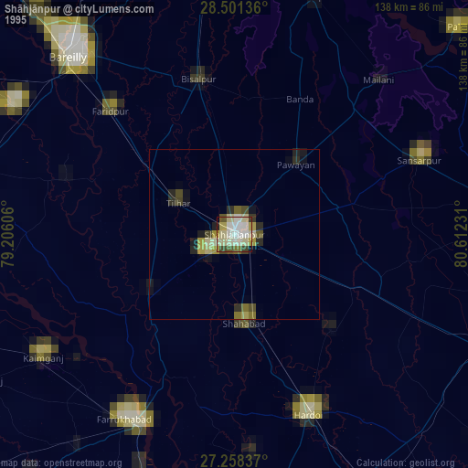
» NASA, Earths city lights 1995
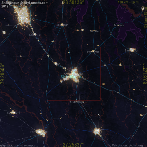
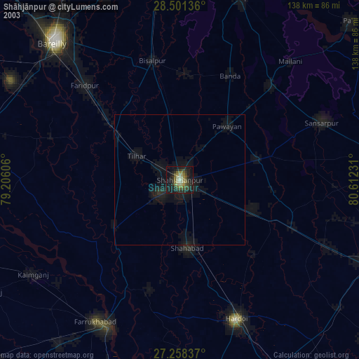
» NASA city lights 2003
» Earth at Night: Flat Maps 2012, 2016