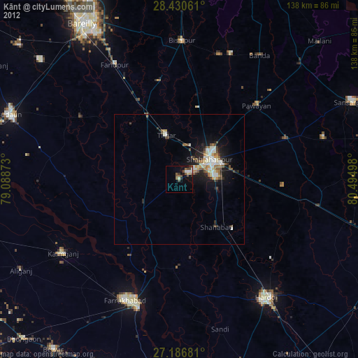
Kānt night lights from space
Night Light of Kānt (Uttar Pradesh) from space (India) Src. Average luminocity for 10x10km area is 15.8135% and for 50x50km: 9.0246%.
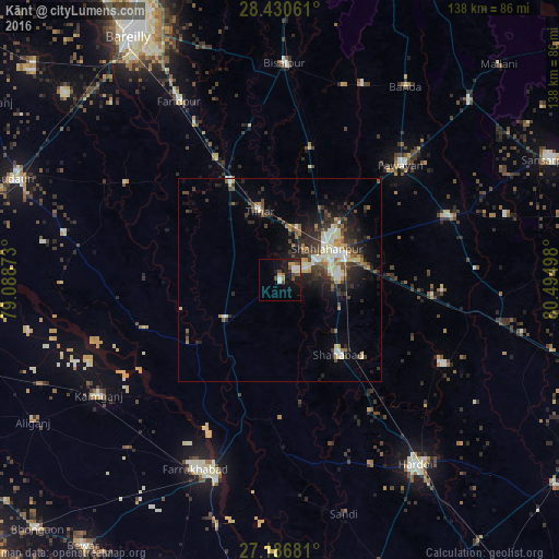
Analysis of Kānt night lights 2016
Square area 10x10 km:
 0.99%
0.99%90-99
2.78%80-89
1.79%70-79
2.58%60-69
1.39%50-59
2.78%40-49
3.77%30-39
0.79%20-29
2.58%10-19
15.48%0-9
65.08%Square area 50x50 km:
0.84%90-99
1.5%80-89
1.24%70-79
0.71%60-69
1.01%50-59
1.18%40-49
1.74%30-39
1.94%20-29
3.25%10-19
5.32%0-9
81.27%Clear (daylight) street map image can be seen on geolist.org.
Map coordinates:
28° 25' 50.2" North, 79° 5' 19.4" East
27° 48' 37.8" North, 79° 47' 30.7" East
27° 11' 12.5" North, 80° 29' 41.9" East
Some cities around Kānt sort by population:
• Shāhjānpur
14 km =8.7 mi,  55°
55°
• Shāhābād
23.7 km =14.7 mi,  141°
141°
• Tilhar
17.7 km =11 mi,  342°
342°
• Jalālābād
16.4 km =10.2 mi,  235°
235°
• Mīrānpur Katra
27.2 km =16.9 mi,  333°
333°
• Pawāyan
41.8 km =26 mi,  47°
47°
• Allāhganj
31.2 km =19.4 mi,  199°
199°
• Khudāganj
38.1 km =23.7 mi,  348°
348°
1267979 (p: 24,430)
Sources (retrieved 2019-11-25):
» Earth at Night: Flat Maps 2012, 2016