Khargone night lights from space
Night Light of Khargone (Madhya Pradesh) from space (India) Src. Average luminocity for 10x10km area is 34.2361% and for 50x50km: 2.567%.
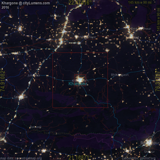
Analysis of Khargone night lights 2016
Square area 10x10 km:
 3.77%
3.77%90-99
9.52%80-89
2.98%70-79
4.76%60-69
3.37%50-59
6.15%40-49
1.39%30-39
4.56%20-29
2.98%10-19
42.46%0-9
18.06%Square area 50x50 km:
0.15%90-99
0.48%80-89
0.25%70-79
0.2%60-69
0.4%50-59
0.43%40-49
0.23%30-39
0.48%20-29
0.56%10-19
2.21%0-9
94.62%Clear (daylight) street map image can be seen on geolist.org.
Map coordinates:
22° 28' 27" North, 74° 54' 39" East
21° 49' 22.5" North, 75° 36' 50.2" East
21° 10' 7.4" North, 76° 19' 1.5" East
Some cities around Khargone sort by population:
• Sendhwa
55.6 km =34.5 mi,  254°
254°
• Dhāmnod
45.4 km =28.2 mi,  341°
341°
• Maheshwar
39.3 km =24.4 mi,  355°
355°
• Kasrāwad
33.9 km =21.1 mi, 359°
• Rajpur
51 km =31.7 mi,  284°
284°
• Bhikangaon
36.5 km =22.7 mi,  82°
82°
• Dharampuri
45.7 km =28.4 mi,  322°
322°
• Māndleshwar
39.5 km =24.5 mi,  6°
6°
1266928 (p: 94,985)
Sources (retrieved 2019-11-25):
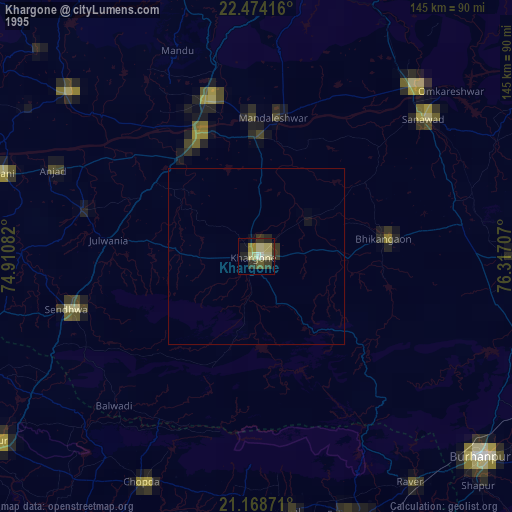
» NASA, Earths city lights 1995
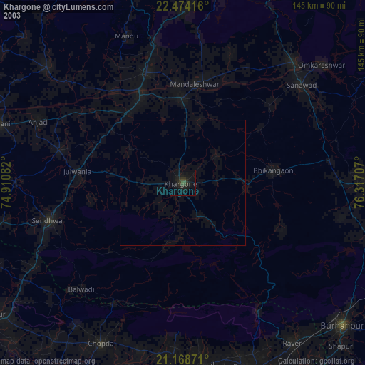
» NASA city lights 2003
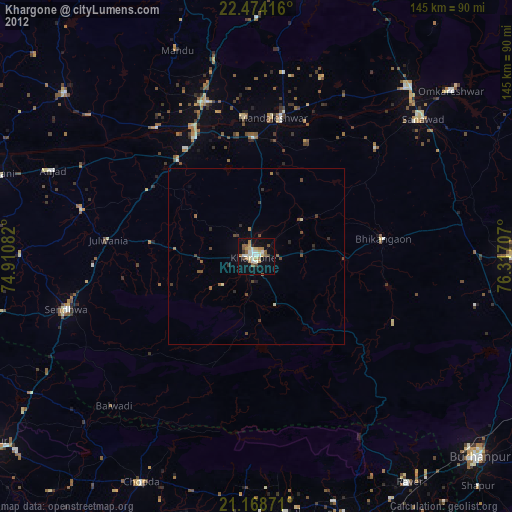
» Earth at Night: Flat Maps 2012, 2016