Mohgaon night lights from space
Night Light of Mohgaon (Madhya Pradesh) from space (India) Src. Average luminocity for 10x10km area is 4.7803% and for 50x50km: 3.5921%.
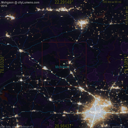
Analysis of Mohgaon night lights 2016
Square area 10x10 km:
 0%
0%90-99
0%80-89
0.38%70-79
1.14%60-69
1.14%50-59
0%40-49
0.76%30-39
0.76%20-29
1.52%10-19
1.7%0-9
92.61%Square area 50x50 km:
0.36%90-99
0.38%80-89
0.33%70-79
0.3%60-69
0.42%50-59
0.61%40-49
0.69%30-39
0.52%20-29
0.79%10-19
1.4%0-9
94.21%Clear (daylight) street map image can be seen on geolist.org.
Map coordinates:
22° 17' 29.4" North, 78° 1' 59.7" East
21° 38' 21.9" North, 78° 44' 11" East
20° 59' 3.7" North, 79° 26' 22.2" East
Some cities around Mohgaon sort by population:
• Pāndhurnā
22.3 km =13.9 mi,  257°
257°
• Kātol
43.5 km =27 mi,  200°
200°
• Saoner
34.2 km =21.3 mi,  145°
145°
• Sausar
6.5 km =4 mi,  73°
73°
• Khāpa
35 km =21.7 mi,  133°
133°
• Lodhīkheda
14.2 km =8.8 mi,  116°
116°
• Mowād
35.3 km =21.9 mi,  236°
236°
• Mohpa
37.9 km =23.5 mi,  165°
165°
1262891 (p: 10,446)
Sources (retrieved 2019-11-25):
» Earth at Night: Flat Maps 2012, 2016