Sausar night lights from space
Night Light of Sausar (Madhya Pradesh) from space (India) Src. Average luminocity for 10x10km area is 11.6818% and for 50x50km: 2.6314%.
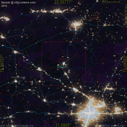
Analysis of Sausar night lights 2016
Square area 10x10 km:
 1.52%
1.52%90-99
1.33%80-89
0.95%70-79
0.57%60-69
2.84%50-59
0.76%40-49
2.08%30-39
1.89%20-29
2.08%10-19
0.76%0-9
85.23%Square area 50x50 km:
0.19%90-99
0.22%80-89
0.22%70-79
0.23%60-69
0.37%50-59
0.52%40-49
0.51%30-39
0.45%20-29
0.56%10-19
0.64%0-9
96.09%Clear (daylight) street map image can be seen on geolist.org.
Map coordinates:
22° 18' 28" North, 78° 5' 36.9" East
21° 39' 20.7" North, 78° 47' 48.1" East
21° 0' 2.9" North, 79° 29' 59.4" East
Some cities around Sausar sort by population:
• Chhindwāra
47 km =29.2 mi,  18°
18°
• Pāndhurnā
28.7 km =17.8 mi,  256°
256°
• Saoner
32.7 km =20.3 mi,  156°
156°
• Khāpa
32.2 km =20 mi,  143°
143°
• Mohgaon
6.5 km =4 mi,  253°
253°
• Lodhīkheda
10.4 km =6.5 mi, 141°
• Mowād
41.6 km =25.8 mi,  239°
239°
• Mohpa
38.6 km =24 mi,  174°
174°
1256974 (p: 26,704)
Sources (retrieved 2019-11-25):
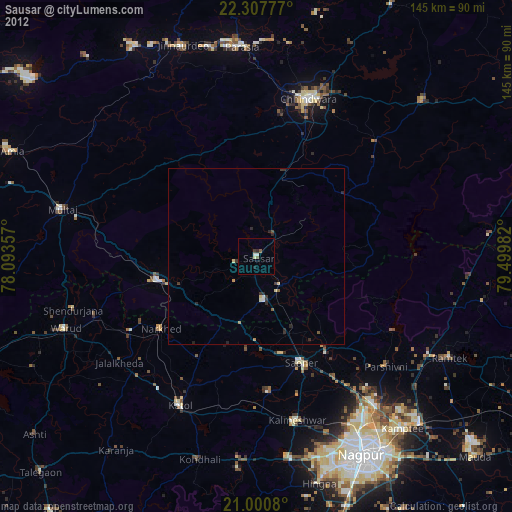
» Earth at Night: Flat Maps 2012, 2016