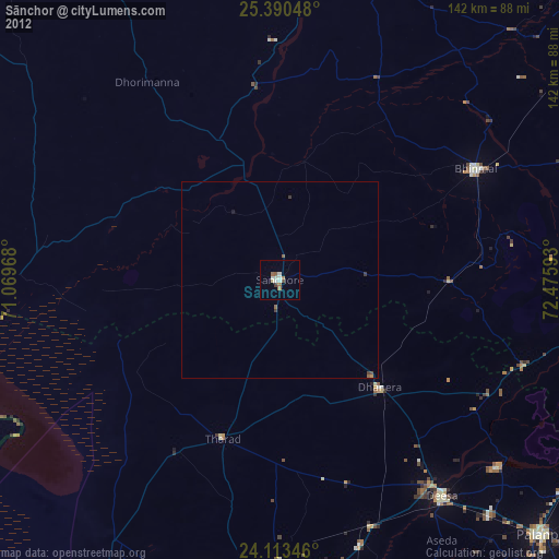
Sānchor night lights from space
Night Light of Sānchor (Rajasthan) from space (India) Src. Average luminocity for 10x10km area is 13.4053% and for 50x50km: 1.0234%.
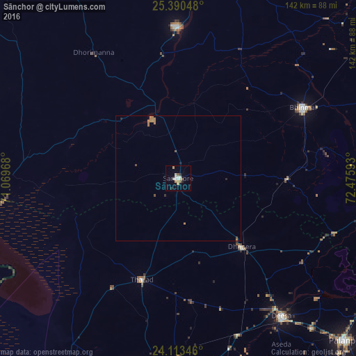
Analysis of Sānchor night lights 2016
Square area 10x10 km:
100  1.7%
1.7%
90-99 3.79%
80-89 0.95%
70-79 2.65%
60-69 0.76%
50-59 0.76%
40-49 0.76%
30-39 1.52%
20-29 1.14%
10-19 2.08%
0-9 83.9%
1.7%90-99
3.79%80-89
0.95%70-79
2.65%60-69
0.76%50-59
0.76%40-49
0.76%30-39
1.52%20-29
1.14%10-19
2.08%0-9
83.9%Square area 50x50 km:
100 0.07%
90-99 0.15%
80-89 0.04%
70-79 0.24%
60-69 0.33%
50-59 0.06%
40-49 0.12%
30-39 0.09%
20-29 0.12%
10-19 0.1%
0-9 98.67%
0.07%90-99
0.15%80-89
0.04%70-79
0.24%60-69
0.33%50-59
0.06%40-49
0.12%30-39
0.09%20-29
0.12%10-19
0.1%0-9
98.67%Clear (daylight) street map image can be seen on geolist.org.
Map coordinates:
25° 23' 25.7" North, 71° 4' 10.8" East
24° 45' 13" North, 71° 46' 22.1" East
24° 6' 48.5" North, 72° 28' 33.3" East
Some cities around Sānchor sort by population:
• Pālanpur
93.4 km =58 mi,  133°
133°
• Dīsa
68.9 km =42.8 mi,  143°
143°
• Bhīnmāl
57.2 km =35.5 mi,  61°
61°
• Un
96.3 km =59.8 mi,  180°
180°
• Ābu
97.1 km =60.3 mi,  100°
100°
• Tharād
42.5 km =26.4 mi,  200°
200°
• Dhanera
37.1 km =23.1 mi, 136°
• Kānodar
97 km =60.3 mi, 139°
1257477 (p: 29,022)
Sources (retrieved 2019-11-25):
» Earth at Night: Flat Maps 2012, 2016