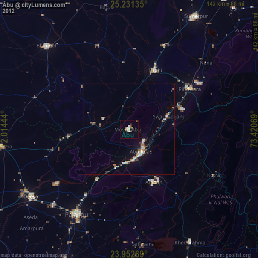
Ābu night lights from space
Night Light of Ābu (Rajasthan) from space (India) Src. Average luminocity for 10x10km area is 16.998% and for 50x50km: 4.8585%.
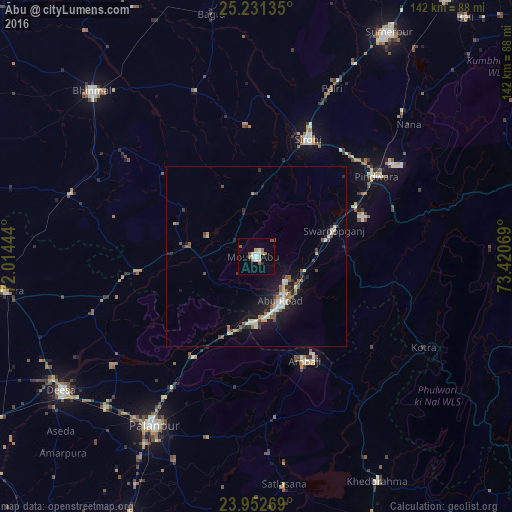
Analysis of Ābu night lights 2016
Square area 10x10 km:
 2.98%
2.98%90-99
4.17%80-89
1.19%70-79
0.4%60-69
2.98%50-59
2.98%40-49
0.79%30-39
0.2%20-29
0.79%10-19
3.57%0-9
79.96%Square area 50x50 km:
0.36%90-99
1%80-89
0.52%70-79
0.25%60-69
0.52%50-59
1%40-49
0.51%30-39
0.46%20-29
1.12%10-19
3.87%0-9
90.38%Clear (daylight) street map image can be seen on geolist.org.
Map coordinates:
25° 13' 52.9" North, 72° 0' 52" East
24° 35' 37.1" North, 72° 43' 3.2" East
23° 57' 9.7" North, 73° 25' 14.5" East
Some cities around Ābu sort by population:
• Pālanpur
54.8 km =34.1 mi,  211°
211°
• Dīsa
66.2 km =41.1 mi,  235°
235°
• Ābu Road
14.2 km =8.8 mi,  152°
152°
• Bhīnmāl
63.7 km =39.6 mi,  315°
315°
• Sirohi
35.3 km =21.9 mi,  21°
21°
• Sheoganj
70.2 km =43.6 mi,  30°
30°
• Pindwāra
40.9 km =25.4 mi,  56°
56°
• Kānodar
65 km =40.4 mi, 210°
1279396 (p: 24,981)
Sources (retrieved 2019-11-25):
» Earth at Night: Flat Maps 2012, 2016