Bhīnmāl night lights from space
Night Light of Bhīnmāl (Rajasthan) from space (India) Src. Average luminocity for 10x10km area is 22.375% and for 50x50km: 1.3313%.
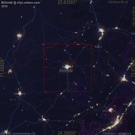
Analysis of Bhīnmāl night lights 2016
Square area 10x10 km:
 2.08%
2.08%90-99
7.2%80-89
2.08%70-79
1.33%60-69
3.03%50-59
2.08%40-49
3.6%30-39
1.52%20-29
0.57%10-19
14.77%0-9
61.74%Square area 50x50 km:
0.08%90-99
0.32%80-89
0.12%70-79
0.05%60-69
0.19%50-59
0.21%40-49
0.21%30-39
0.17%20-29
0.31%10-19
0.7%0-9
97.64%Clear (daylight) street map image can be seen on geolist.org.
Map coordinates:
25° 38' 6.1" North, 71° 34' 5.8" East
24° 59' 58" North, 72° 16' 17.1" East
24° 21' 38" North, 72° 58' 28.3" East
Some cities around Bhīnmāl sort by population:
• Ābu Road
77.4 km =48.1 mi,  138°
138°
• Jalor
51.8 km =32.2 mi,  41°
41°
• Sirohi
59.4 km =36.9 mi,  101°
101°
• Sānchor
57.2 km =35.5 mi,  241°
241°
• Sheoganj
81.7 km =50.8 mi,  79°
79°
• Ābu
63.7 km =39.6 mi, 135°
• Dhanera
59.9 km =37.2 mi,  204°
204°
• Siwāna
74.1 km =46 mi,  11°
11°
1275920 (p: 42,863)
Sources (retrieved 2019-11-25):
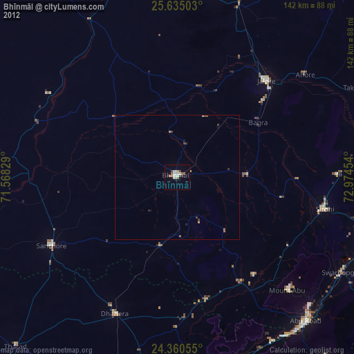
» Earth at Night: Flat Maps 2012, 2016