Kāsganj night lights from space
Night Light of Kāsganj (Uttar Pradesh) from space (India) Src. Average luminocity for 10x10km area is 47.4087% and for 50x50km: 11.4348%.
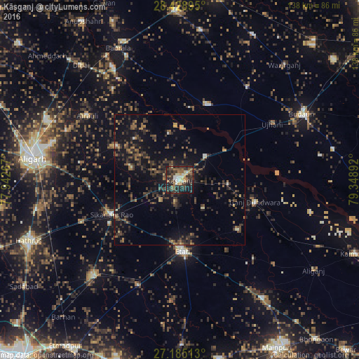
Analysis of Kāsganj night lights 2016
Square area 10x10 km:
 2.78%
2.78%90-99
8.13%80-89
7.74%70-79
3.97%60-69
7.34%50-59
10.32%40-49
8.53%30-39
20.83%20-29
14.68%10-19
15.28%0-9
0.4%Square area 50x50 km:
0.19%90-99
0.53%80-89
0.84%70-79
0.8%60-69
1.75%50-59
1.97%40-49
3.12%30-39
4.3%20-29
4.75%10-19
10.7%0-9
71.03%Clear (daylight) street map image can be seen on geolist.org.
Map coordinates:
28° 25' 44.2" North, 77° 56' 33.6" East
27° 48' 31.8" North, 78° 38' 44.8" East
27° 11' 6.5" North, 79° 20' 56.1" East
Some cities around Kāsganj sort by population:
• Ganj Dundwāra
30.3 km =18.8 mi,  106°
106°
• Sikandra Rao
29.4 km =18.3 mi,  242°
242°
• Soron
13.4 km =8.3 mi,  47°
47°
• Chharra
27.3 km =17 mi,  298°
298°
• Sahāwar
18.5 km =11.5 mi,  94°
94°
• Mārahra
11 km =6.8 mi,  223°
223°
• Sidhpura
29.4 km =18.3 mi,  131°
131°
• Amānpur
14.1 km =8.8 mi,  139°
139°
1267588 (p: 99,462)
Sources (retrieved 2019-11-25):
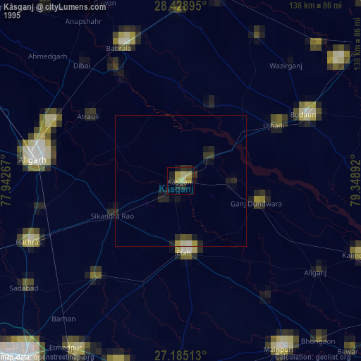
» NASA, Earths city lights 1995
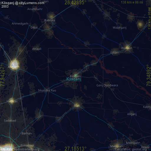
» NASA city lights 2003
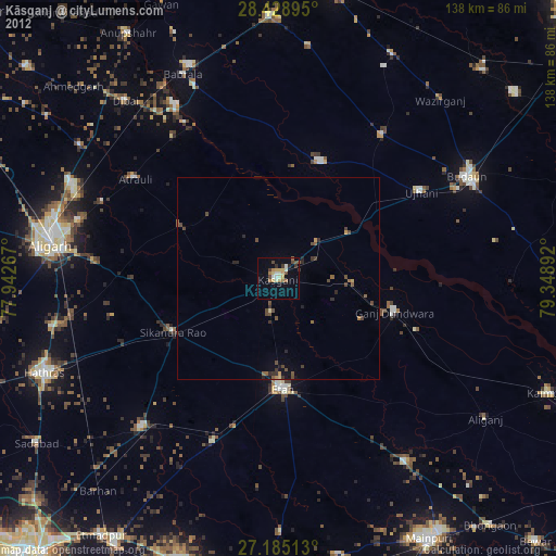
» Earth at Night: Flat Maps 2012, 2016