Rishīkesh night lights from space
Night Light of Rishīkesh (Uttarakhand) from space (India) Src. Average luminocity for 10x10km area is 53.9148% and for 50x50km: 18.9586%.
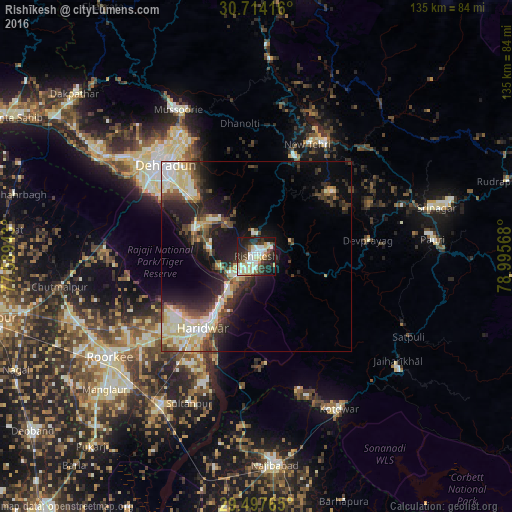
Analysis of Rishīkesh night lights 2016
Square area 10x10 km:
 9.47%
9.47%90-99
16.67%80-89
8.71%70-79
3.98%60-69
1.89%50-59
5.49%40-49
6.63%30-39
12.88%20-29
16.29%10-19
17.42%0-9
0.57%Square area 50x50 km:
2.31%90-99
4.3%80-89
3.49%70-79
1.59%60-69
1.19%50-59
2.58%40-49
2.96%30-39
3.26%20-29
6.23%10-19
10.33%0-9
61.77%Clear (daylight) street map image can be seen on geolist.org.
Map coordinates:
30° 42' 51" North, 77° 35' 21.9" East
30° 6' 28" North, 78° 17' 33.2" East
29° 29' 51.5" North, 78° 59' 44.4" East
Some cities around Rishīkesh sort by population:
• Dehra Dūn
34.6 km =21.5 mi,  314°
314°
• Haridwar
21.9 km =13.6 mi,  215°
215°
• Rāipur
29.8 km =18.5 mi,  319°
319°
• Tehri
36.3 km =22.6 mi,  29°
29°
• Clement Town
32.3 km =20.1 mi,  302°
302°
• Birbhaddar
4.2 km =2.6 mi,  194°
194°
• Doiwāla
18.6 km =11.6 mi,  294°
294°
• Rāīwāla Bara
11.6 km =7.2 mi,  211°
211°
1258128 (p: 66,390)
Sources (retrieved 2019-11-25):
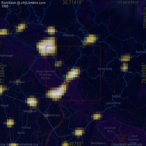
» NASA, Earths city lights 1995
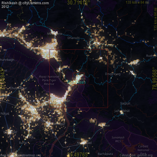
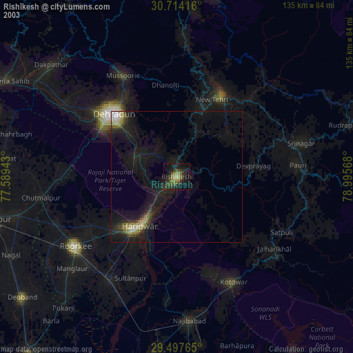
» NASA city lights 2003
» Earth at Night: Flat Maps 2012, 2016