Clement Town night lights from space
Night Light of Clement Town (Uttarakhand) from space (India) Src. Average luminocity for 10x10km area is 66.4652% and for 50x50km: 24.0801%.
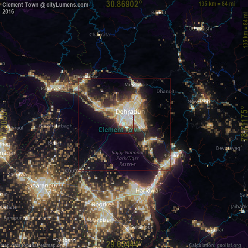
Analysis of Clement Town night lights 2016
Square area 10x10 km:
 16.12%
90-99
23.99%80-89
12.09%70-79
4.21%60-69
4.03%50-59
3.85%40-49
6.78%30-39
4.58%20-29
13.37%10-19
9.34%0-9
1.65%Square area 50x50 km:
2.44%90-99
4.93%80-89
4.32%70-79
2.17%60-69
2.01%50-59
3.83%40-49
4.31%30-39
4.63%20-29
7.77%10-19
13.48%0-9
50.12%Clear (daylight) street map image can be seen on geolist.org.
Map coordinates:
30° 52' 8.5" North, 77° 18' 19.8" East
30° 15' 49" North, 78° 0' 31" East
29° 39' 16" North, 78° 42' 42.3" East
Some cities around Clement Town sort by population:
• Dehra Dūn
7.2 km =4.5 mi,  19°
19°
• Rishīkesh
32.3 km =20.1 mi,  122°
122°
• Rāipur
9.4 km =5.8 mi,  55°
55°
• Mussoorie
22.1 km =13.7 mi, 15°
• Birbhaddar
33.9 km =21.1 mi,  129°
129°
• Vikāsnagar
32.2 km =20 mi,  315°
315°
• Harbatpur
32.3 km =20.1 mi,  307°
307°
• Doiwāla
14.2 km =8.8 mi, 132°
1273880 (p: 20,806)
Sources (retrieved 2019-11-25):
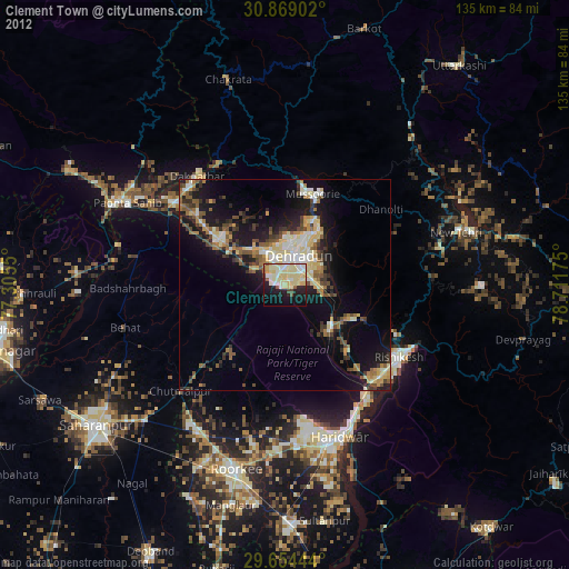
» Earth at Night: Flat Maps 2012, 2016