Haridwar night lights from space
Night Light of Haridwar (Uttarakhand) from space (India) Src. Average luminocity for 10x10km area is 63.4943% and for 50x50km: 26.4193%.
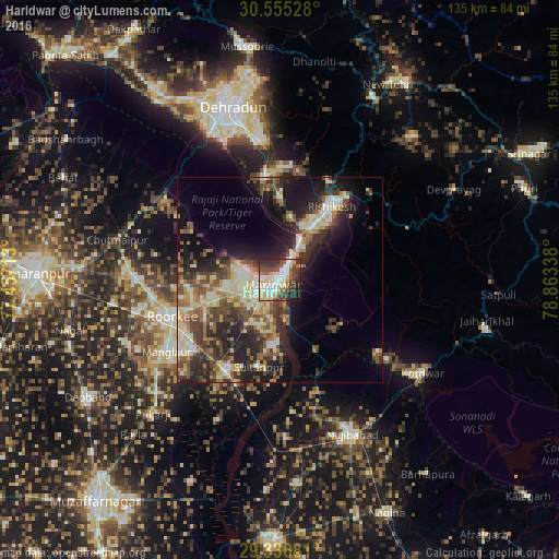
Analysis of Haridwar night lights 2016
Square area 10x10 km:
 11.36%
90-99
18.18%80-89
12.88%70-79
3.03%60-69
5.68%50-59
9.09%40-49
11.36%30-39
12.69%20-29
11.55%10-19
4.17%0-9
0%Square area 50x50 km:
2.09%90-99
5.23%80-89
4.61%70-79
2.7%60-69
3.01%50-59
5.02%40-49
5.12%30-39
5.37%20-29
9.26%10-19
11.43%0-9
46.16%Clear (daylight) street map image can be seen on geolist.org.
Map coordinates:
30° 33' 19" North, 77° 27' 25.7" East
29° 56' 52.5" North, 78° 9' 36.9" East
29° 20' 12.5" North, 78° 51' 48.2" East
Some cities around Haridwar sort by population:
• Roorkee
27.5 km =17.1 mi,  250°
250°
• Rishīkesh
21.9 km =13.6 mi,  35°
35°
• Manglaur
32.3 km =20.1 mi,  237°
237°
• Laksar
24 km =14.9 mi,  208°
208°
• Birbhaddar
18 km =11.2 mi, 40°
• Sultānpur
21.9 km =13.6 mi,  192°
192°
• Doiwāla
25.8 km =16 mi,  350°
350°
• Rāīwāla Bara
10.3 km =6.4 mi, 40°
1270351 (p: 186,079)
Sources (retrieved 2019-11-25):
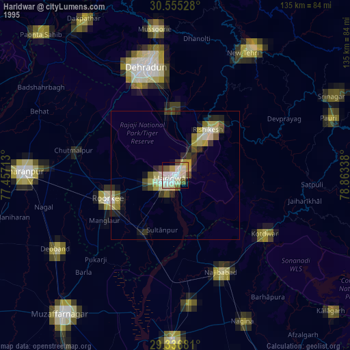
» NASA, Earths city lights 1995
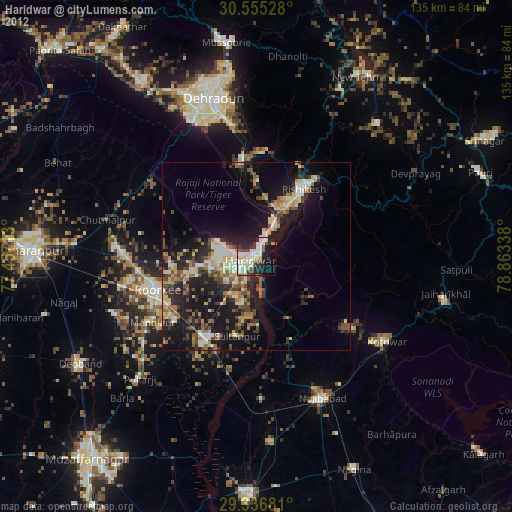
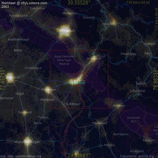
» NASA city lights 2003
» Earth at Night: Flat Maps 2012, 2016