Dehra Dūn night lights from space
Night Light of Dehra Dūn (Uttarakhand) from space (India) Src. Average luminocity for 10x10km area is 94.0238% and for 50x50km: 22.3232%.
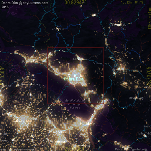
Analysis of Dehra Dūn night lights 2016
Square area 10x10 km:
 33.33%
90-99
37.91%80-89
27.66%70-79
0%60-69
0.55%50-59
0.55%40-49
0%30-39
0%20-29
0%10-19
0%0-9
0%Square area 50x50 km:
2.46%90-99
4.61%80-89
4.06%70-79
1.91%60-69
1.65%50-59
3.46%40-49
4.08%30-39
4.25%20-29
6.99%10-19
12.68%0-9
53.84%Clear (daylight) street map image can be seen on geolist.org.
Map coordinates:
30° 55' 46.1" North, 77° 19' 50.9" East
30° 19' 27.9" North, 78° 2' 2.1" East
29° 42' 56.3" North, 78° 44' 13.4" East
Some cities around Dehra Dūn sort by population:
• Rishīkesh
34.6 km =21.5 mi,  134°
134°
• Rāipur
5.6 km =3.5 mi,  105°
105°
• Mussoorie
14.9 km =9.3 mi,  13°
13°
• Clement Town
7.2 km =4.5 mi,  199°
199°
• Birbhaddar
36.9 km =22.9 mi,  139°
139°
• Vikāsnagar
29.8 km =18.5 mi,  302°
302°
• Harbatpur
30.9 km =19.2 mi,  294°
294°
• Doiwāla
18.2 km =11.3 mi,  154°
154°
1273313 (p: 522,081)
Sources (retrieved 2019-11-25):
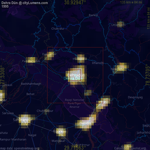
» NASA, Earths city lights 1995
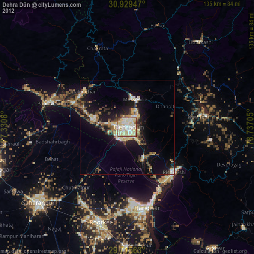
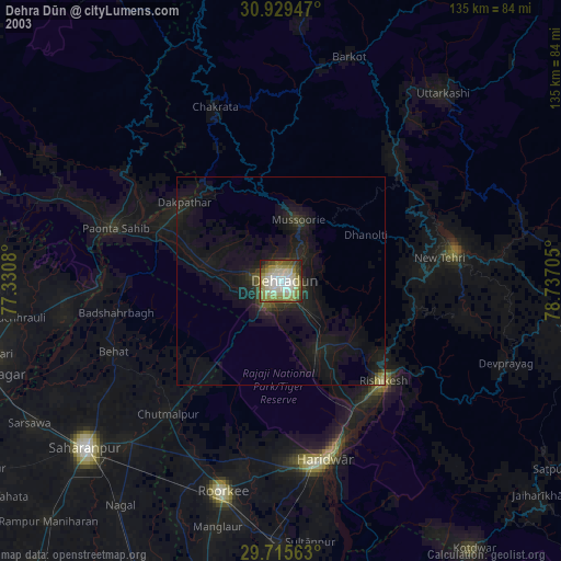
» NASA city lights 2003
» Earth at Night: Flat Maps 2012, 2016