Rāipur night lights from space
Night Light of Rāipur (Uttarakhand) from space (India) Src. Average luminocity for 10x10km area is 74.4615% and for 50x50km: 21.7293%.
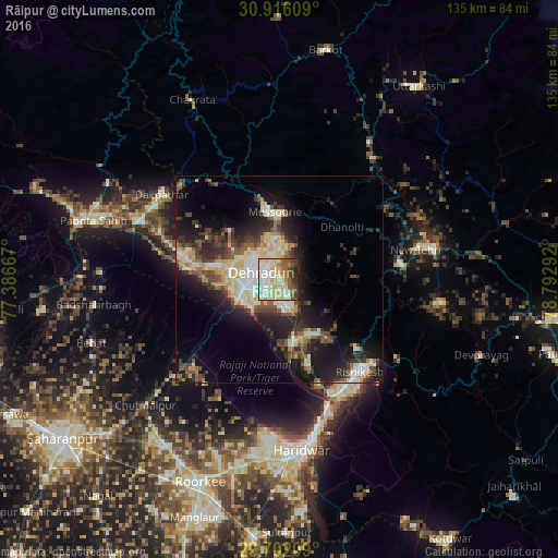
Analysis of Rāipur night lights 2016
Square area 10x10 km:
 18.86%
90-99
19.6%80-89
23.44%70-79
2.75%60-69
3.11%50-59
8.24%40-49
8.24%30-39
7.51%20-29
7.88%10-19
0.37%0-9
0%Square area 50x50 km:
2.52%90-99
4.59%80-89
3.99%70-79
1.91%60-69
1.57%50-59
3.15%40-49
3.84%30-39
4.07%20-29
6.71%10-19
12.13%0-9
55.52%Clear (daylight) street map image can be seen on geolist.org.
Map coordinates:
30° 54' 57.9" North, 77° 23' 12" East
30° 18' 39.5" North, 78° 5' 23.2" East
29° 42' 7.5" North, 78° 47' 34.5" East
Some cities around Rāipur sort by population:
• Dehra Dūn
5.6 km =3.5 mi,  285°
285°
• Rishīkesh
29.8 km =18.5 mi,  139°
139°
• Mussoorie
16.1 km =10 mi,  353°
353°
• Clement Town
9.4 km =5.8 mi,  235°
235°
• Birbhaddar
32.4 km =20.1 mi,  145°
145°
• Vikāsnagar
35.1 km =21.8 mi,  300°
300°
• Doiwāla
15.2 km =9.4 mi,  170°
170°
• Rāīwāla Bara
35.2 km =21.9 mi,  157°
157°
1258967 (p: 27,702)
Sources (retrieved 2019-11-25):
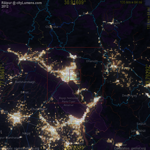
» Earth at Night: Flat Maps 2012, 2016