Rāth night lights from space
Night Light of Rāth (Uttar Pradesh) from space (India) Src. Average luminocity for 10x10km area is 10.3977% and for 50x50km: 1.9582%.
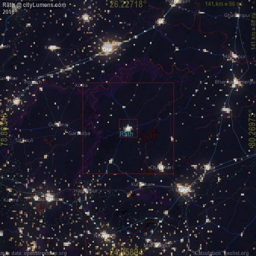
Analysis of Rāth night lights 2016
Square area 10x10 km:
 1.33%
1.33%90-99
2.46%80-89
0.76%70-79
1.14%60-69
1.14%50-59
0.76%40-49
0.76%30-39
2.65%20-29
2.27%10-19
0%0-9
86.74%Square area 50x50 km:
0.17%90-99
0.41%80-89
0.15%70-79
0.17%60-69
0.26%50-59
0.19%40-49
0.41%30-39
0.41%20-29
0.35%10-19
0.42%0-9
97.05%Clear (daylight) street map image can be seen on geolist.org.
Map coordinates:
26° 13' 37.8" North, 78° 51' 48.5" East
25° 35' 41.1" North, 79° 33' 59.8" East
24° 57' 32.2" North, 80° 16' 11" East
Some cities around Rāth sort by population:
• Gursarāi
38.8 km =24.1 mi,  273°
273°
• Charkhāri
28.1 km =17.5 mi,  139°
139°
• Kulpahār
31.4 km =19.5 mi,  166°
166°
• Kharela
25.3 km =15.7 mi,  103°
103°
• Garautha
27.1 km =16.8 mi,  264°
264°
• Kotra
35 km =21.7 mi,  312°
312°
• Sarīla
22.9 km =14.2 mi,  28°
28°
• Gohānd
11.7 km =7.3 mi,  349°
349°
1258352 (p: 61,728)
Sources (retrieved 2019-11-25):
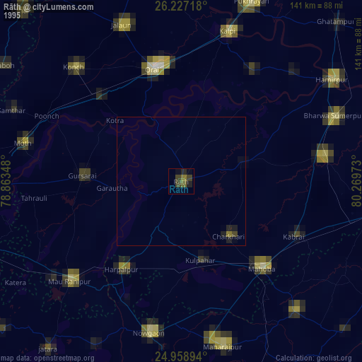
» NASA, Earths city lights 1995
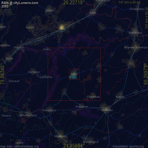
» NASA city lights 2003
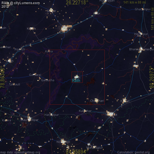
» Earth at Night: Flat Maps 2012, 2016