Gursarāi night lights from space
Night Light of Gursarāi (Uttar Pradesh) from space (India) Src. Average luminocity for 10x10km area is 6.9394% and for 50x50km: 2.8059%.
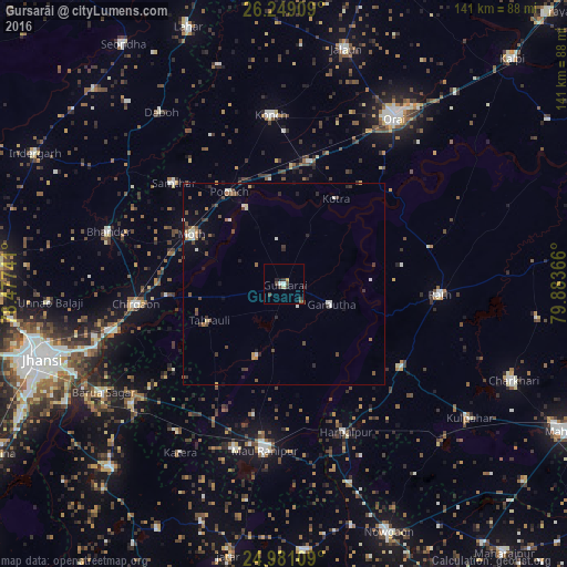
Analysis of Gursarāi night lights 2016
Square area 10x10 km:
 0.95%
0.95%90-99
0.57%80-89
0.76%70-79
0.76%60-69
0%50-59
1.14%40-49
2.08%30-39
2.84%20-29
1.52%10-19
0.76%0-9
88.64%Square area 50x50 km:
0.25%90-99
0.45%80-89
0.15%70-79
0.22%60-69
0.3%50-59
0.54%40-49
0.68%30-39
0.63%20-29
0.52%10-19
0.85%0-9
95.42%Clear (daylight) street map image can be seen on geolist.org.
Map coordinates:
26° 14' 56.7" North, 78° 28' 38.7" East
25° 37' 0.4" North, 79° 10' 49.9" East
24° 58' 51.9" North, 79° 53' 1.2" East
Some cities around Gursarāi sort by population:
• Rāth
38.8 km =24.1 mi,  93°
93°
• Samthar
37.2 km =23.1 mi,  312°
312°
• Chirgaon
37.1 km =23.1 mi,  262°
262°
• Moth
26.1 km =16.2 mi,  297°
297°
• Tori-Fatehpur
19.2 km =11.9 mi,  200°
200°
• Garautha
12.8 km =8 mi,  113°
113°
• Kotra
24.8 km =15.4 mi,  31°
31°
• Gohānd
37.7 km =23.4 mi,  76°
76°
1270618 (p: 25,191)
Sources (retrieved 2019-11-25):
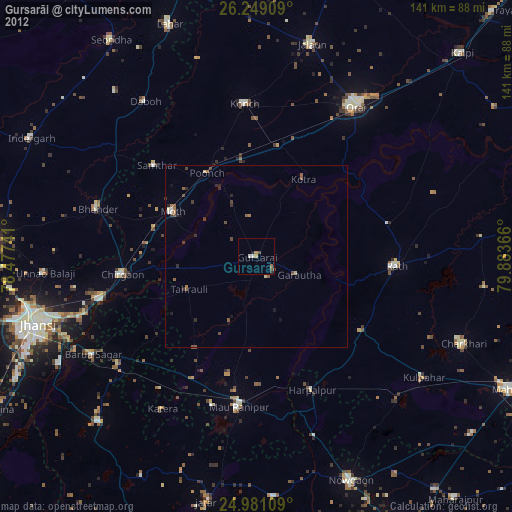
» Earth at Night: Flat Maps 2012, 2016