Rampachodavaram night lights from space
Night Light of Rampachodavaram (Andhra Pradesh) from space (India) Src. Average luminocity for 10x10km area is 2.2624% and for 50x50km: 1.2484%.
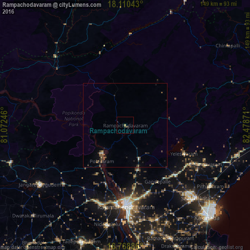
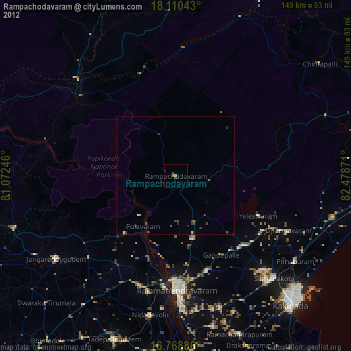
Analysis of Rampachodavaram night lights 2016
Square area 10x10 km:
 0%
0%90-99
0%80-89
0%70-79
0.62%60-69
0.21%50-59
0.83%40-49
0.83%30-39
0.21%20-29
2.27%10-19
0.41%0-9
94.63%Square area 50x50 km:
0.02%90-99
0.11%80-89
0.1%70-79
0.06%60-69
0.14%50-59
0.37%40-49
0.41%30-39
0.17%20-29
0.54%10-19
0.29%0-9
97.78%Clear (daylight) street map image can be seen on geolist.org.
Map coordinates:
18° 6' 37.5" North, 81° 4' 20.9" East
17° 26' 27.2" North, 81° 46' 32.1" East
16° 46' 7.9" North, 82° 28' 43.4" East
Some cities around Rampachodavaram sort by population:
• Rājahmundry
48.4 km =30.1 mi,  179°
179°
• Sāmalkot
60.3 km =37.5 mi,  135°
135°
• Peddāpuram
55.9 km =34.7 mi, 136°
• Nidadavole
60.5 km =37.6 mi,  190°
190°
• Polavaram
25.7 km =16 mi,  213°
213°
• Kovvūr
47.5 km =29.5 mi, 185°
• Gokavaram
21.8 km =13.5 mi,  158°
158°
• vadlamuru
56.5 km =35.1 mi,  132°
132°
1274021 (p: 25,074)
Sources (retrieved 2019-11-25):
» Earth at Night: Flat Maps 2012, 2016