Kovvūr night lights from space
Night Light of Kovvūr (Andhra Pradesh) from space (India) Src. Average luminocity for 10x10km area is 47.5563% and for 50x50km: 18.4421%.
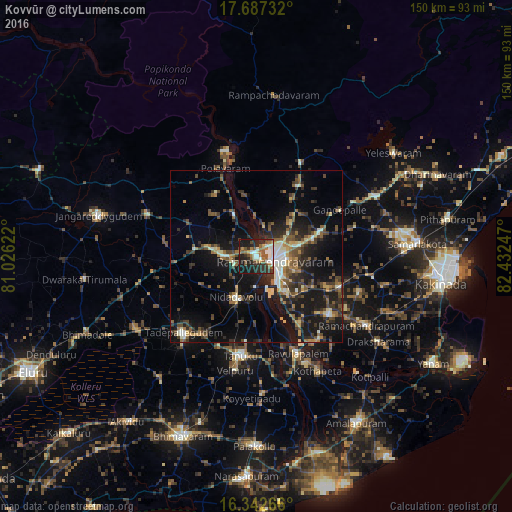
Analysis of Kovvūr night lights 2016
Square area 10x10 km:
 5.41%
5.41%90-99
12.34%80-89
1.95%70-79
4.33%60-69
9.31%50-59
8.87%40-49
8.44%30-39
7.79%20-29
20.78%10-19
20.78%0-9
0%Square area 50x50 km:
0.6%90-99
3.18%80-89
1.62%70-79
1.9%60-69
2.37%50-59
3.39%40-49
3.61%30-39
4.55%20-29
6.02%10-19
17.04%0-9
55.73%Clear (daylight) street map image can be seen on geolist.org.
Map coordinates:
17° 41' 14.4" North, 81° 1' 34.4" East
17° 0' 58.3" North, 81° 43' 45.6" East
16° 20' 33.6" North, 82° 25' 56.9" East
Some cities around Kovvūr sort by population:
• Rājahmundry
5.3 km =3.3 mi,  103°
103°
• Tādepallegūdem
31.1 km =19.3 mi,  223°
223°
• Tanuku
29.6 km =18.4 mi,  189°
189°
• Mandapeta
27.3 km =17 mi,  128°
128°
• Nidadavole
13.7 km =8.5 mi,  206°
206°
• Polavaram
27.3 km =17 mi,  340°
340°
• Rāmachandrapuram
37.6 km =23.4 mi,  122°
122°
• Gokavaram
29.8 km =18.5 mi,  25°
25°
1265886 (p: 40,379)
Sources (retrieved 2019-11-25):
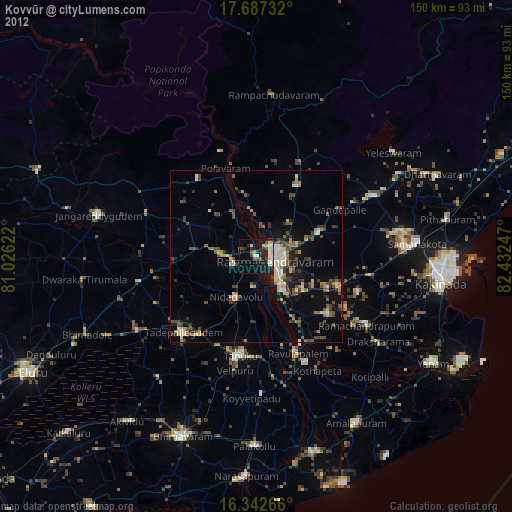
» Earth at Night: Flat Maps 2012, 2016