Rājahmundry night lights from space
Night Light of Rājahmundry (Andhra Pradesh) from space (India) Src. Average luminocity for 10x10km area is 74.0281% and for 50x50km: 19.7526%.
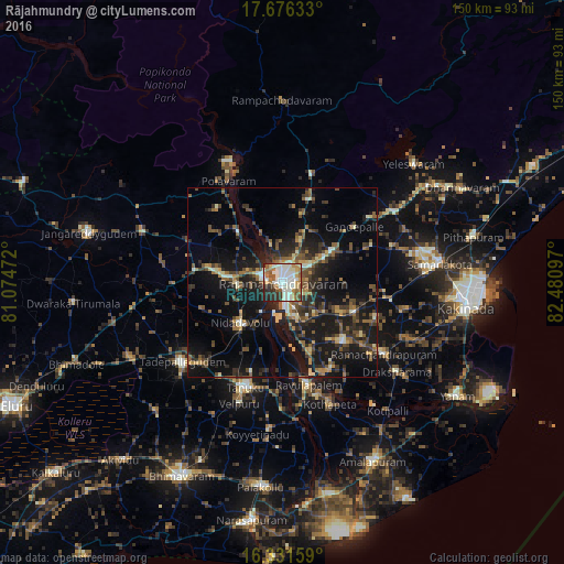
Analysis of Rājahmundry night lights 2016
Square area 10x10 km:
 12.77%
90-99
34.2%80-89
6.71%70-79
7.14%60-69
9.09%50-59
9.96%40-49
2.38%30-39
8.01%20-29
9.09%10-19
0.65%0-9
0%Square area 50x50 km:
0.6%90-99
3.01%80-89
1.85%70-79
1.91%60-69
2.63%50-59
3.8%40-49
3.98%30-39
4.97%20-29
6.51%10-19
19.39%0-9
51.36%Clear (daylight) street map image can be seen on geolist.org.
Map coordinates:
17° 40' 34.8" North, 81° 4' 29" East
17° 0' 18.6" North, 81° 46' 40.2" East
16° 19' 53.7" North, 82° 28' 51.5" East
Some cities around Rājahmundry sort by population:
• Tādepallegūdem
34.1 km =21.2 mi,  231°
231°
• Tanuku
29.7 km =18.5 mi,  200°
200°
• Mandapeta
22.6 km =14 mi,  134°
134°
• Nidadavole
15.8 km =9.8 mi, 225°
• Polavaram
30.5 km =19 mi,  332°
332°
• Rāmachandrapuram
32.6 km =20.3 mi, 125°
• Kovvūr
5.3 km =3.3 mi,  283°
283°
• Gokavaram
29.2 km =18.1 mi,  15°
15°
1258932 (p: 304,804)
Sources (retrieved 2019-11-25):
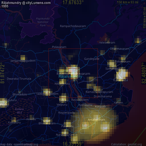
» NASA, Earths city lights 1995
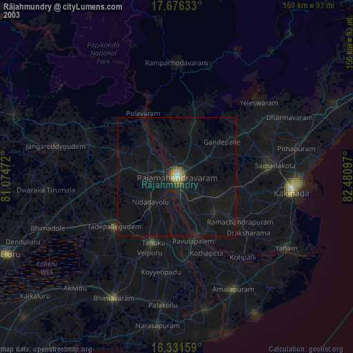
» NASA city lights 2003
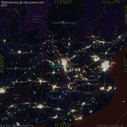
» Earth at Night: Flat Maps 2012, 2016