Sāmalkot night lights from space
Night Light of Sāmalkot (Andhra Pradesh) from space (India) Src. Average luminocity for 10x10km area is 44.3485% and for 50x50km: 18.8143%.
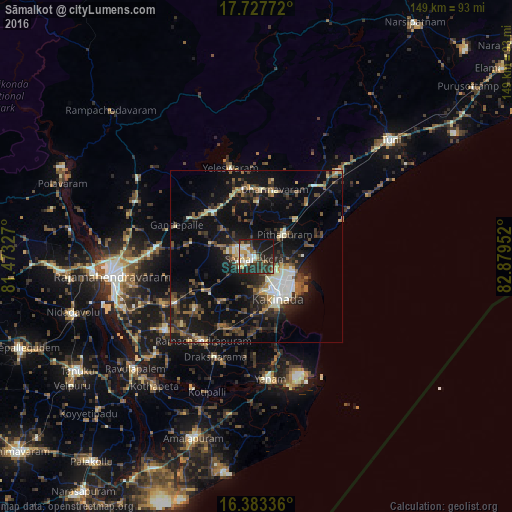
Analysis of Sāmalkot night lights 2016
Square area 10x10 km:
 1.95%
1.95%90-99
14.07%80-89
3.46%70-79
4.76%60-69
8.23%50-59
3.03%40-49
4.55%30-39
13.64%20-29
24.89%10-19
21.21%0-9
0.22%Square area 50x50 km:
1.01%90-99
3.37%80-89
1.59%70-79
1.5%60-69
2.15%50-59
3.22%40-49
3.5%30-39
4.75%20-29
6.63%10-19
17%0-9
55.27%Clear (daylight) street map image can be seen on geolist.org.
Map coordinates:
17° 43' 39.8" North, 81° 28' 23.8" East
17° 3' 24.3" North, 82° 10' 35" East
16° 23' 0.1" North, 82° 52' 46.3" East
Some cities around Sāmalkot sort by population:
• Kākināda
12.6 km =7.8 mi,  148°
148°
• Pithāpuram
10.5 km =6.5 mi,  50°
50°
• Mandapeta
34 km =21.1 mi,  230°
230°
• Peddāpuram
4.6 km =2.9 mi,  299°
299°
• Rāmachandrapuram
29.1 km =18.1 mi,  212°
212°
• Yanam
36.2 km =22.5 mi,  173°
173°
• Ramanayyapeta
14.1 km =8.8 mi, 151°
• vadlamuru
4.5 km =2.8 mi,  345°
345°
1257565 (p: 55,097)
Sources (retrieved 2019-11-25):
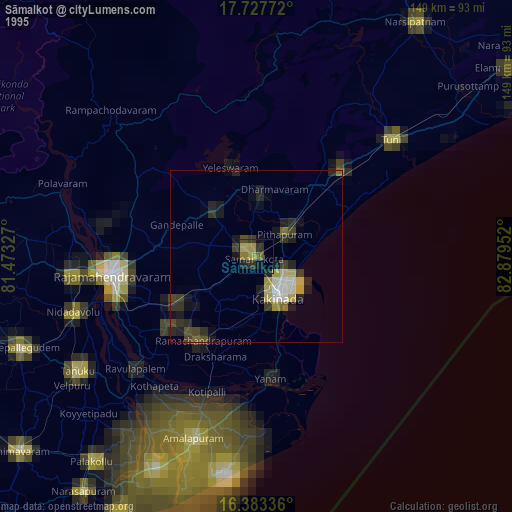
» NASA, Earths city lights 1995
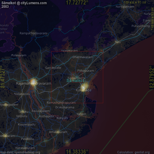
» NASA city lights 2003
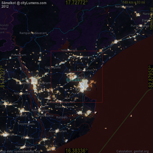
» Earth at Night: Flat Maps 2012, 2016