Nidadavole night lights from space
Night Light of Nidadavole (Andhra Pradesh) from space (India) Src. Average luminocity for 10x10km area is 19.6515% and for 50x50km: 20.2936%.
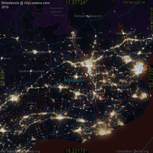
Analysis of Nidadavole night lights 2016
Square area 10x10 km:
 0.22%
0.22%90-99
3.25%80-89
1.95%70-79
3.25%60-69
2.6%50-59
1.73%40-49
3.25%30-39
3.25%20-29
4.33%10-19
20.56%0-9
55.63%Square area 50x50 km:
0.71%90-99
3.47%80-89
1.96%70-79
2.15%60-69
2.6%50-59
3.72%40-49
3.72%30-39
4.52%20-29
6.68%10-19
20.32%0-9
50.15%Clear (daylight) street map image can be seen on geolist.org.
Map coordinates:
17° 34' 38.1" North, 80° 58' 8.8" East
16° 54' 20.6" North, 81° 40' 20" East
16° 13' 54.4" North, 82° 22' 31.3" East
Some cities around Nidadavole sort by population:
• Rājahmundry
15.8 km =9.8 mi,  45°
45°
• Tādepallegūdem
18.5 km =11.5 mi,  236°
236°
• Tanuku
16.9 km =10.5 mi,  176°
176°
• Attili
24.1 km =15 mi,  198°
198°
• Mandapeta
27.8 km =17.3 mi,  99°
99°
• Kovvūr
13.7 km =8.5 mi,  26°
26°
• Penugonda
29.1 km =18.1 mi,  164°
164°
• Pippara
24.7 km =15.3 mi,  211°
211°
1261446 (p: 44,173)
Sources (retrieved 2019-11-25):
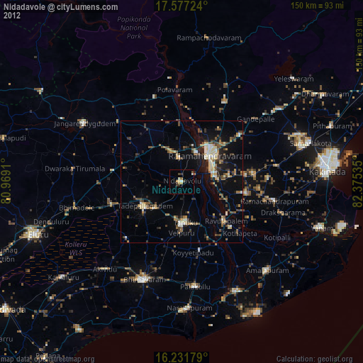
» Earth at Night: Flat Maps 2012, 2016