Chhota Udepur night lights from space
Night Light of Chhota Udepur (Gujarat) from space (India) Src. Average luminocity for 10x10km area is 10.4886% and for 50x50km: 2.1056%.
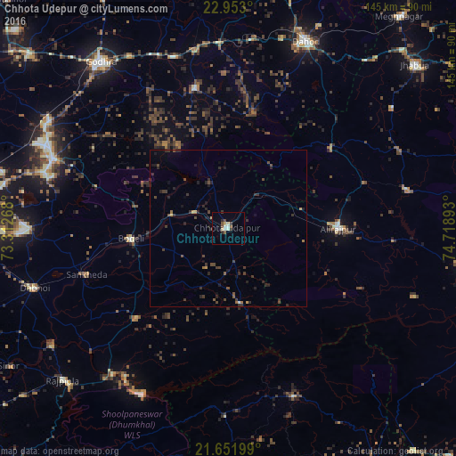
Analysis of Chhota Udepur night lights 2016
Square area 10x10 km:
 0.19%
0.19%90-99
3.22%80-89
2.08%70-79
0.19%60-69
0%50-59
2.27%40-49
1.52%30-39
1.89%20-29
1.89%10-19
0.19%0-9
86.55%Square area 50x50 km:
0.01%90-99
0.17%80-89
0.12%70-79
0.18%60-69
0.14%50-59
0.34%40-49
0.64%30-39
0.92%20-29
1.04%10-19
0.76%0-9
95.69%Clear (daylight) street map image can be seen on geolist.org.
Map coordinates:
22° 57' 10.8" North, 73° 18' 45.6" East
22° 18' 14.4" North, 74° 0' 56.9" East
21° 39' 7.2" North, 74° 43' 8.1" East
Some cities around Chhota Udepur sort by population:
• Rajpur
35 km =21.7 mi,  90°
90°
• Devgadh Bāriya
45.9 km =28.5 mi,  346°
346°
• Sankheda
47.4 km =29.5 mi,  251°
251°
• Jobat
58.2 km =36.2 mi,  77°
77°
• Bhābhra
40.8 km =25.4 mi,  51°
51°
• Kawānt
23.8 km =14.8 mi,  171°
171°
• Jetpur
18.5 km =11.5 mi,  284°
284°
• Shivrājpur
43.9 km =27.3 mi,  287°
287°
1274285 (p: 24,517)
Sources (retrieved 2019-11-25):
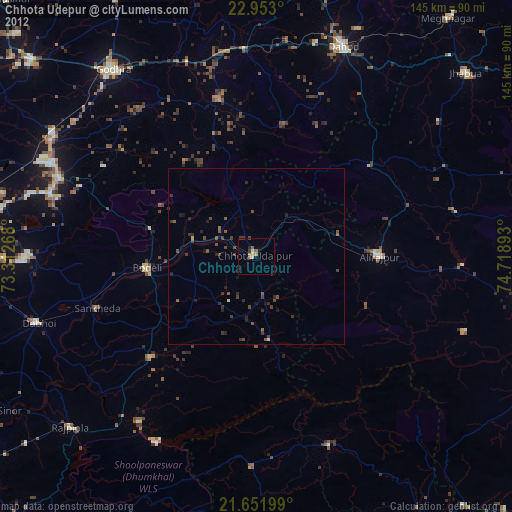
» Earth at Night: Flat Maps 2012, 2016