Rājpīpla night lights from space
Night Light of Rājpīpla (Gujarat) from space (India) Src. Average luminocity for 10x10km area is 12.502% and for 50x50km: 3.4275%.
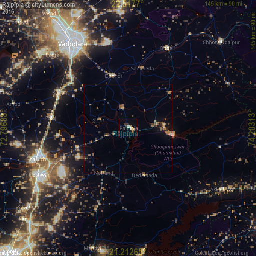
Analysis of Rājpīpla night lights 2016
Square area 10x10 km:
 0%
0%90-99
3.97%80-89
0.99%70-79
2.38%60-69
2.18%50-59
0.6%40-49
0.2%30-39
2.18%20-29
3.77%10-19
0.4%0-9
83.33%Square area 50x50 km:
0.02%90-99
0.36%80-89
0.24%70-79
0.35%60-69
0.72%50-59
0.68%40-49
0.59%30-39
0.98%20-29
0.95%10-19
1.79%0-9
93.32%Clear (daylight) street map image can be seen on geolist.org.
Map coordinates:
22° 31' 3.7" North, 72° 47' 48.8" East
21° 52' 0" North, 73° 30' 0" East
21° 12' 45.5" North, 74° 12' 11.3" East
Some cities around Rājpīpla sort by population:
• Vadodara
56.7 km =35.2 mi,  327°
327°
• Bharūch
56.9 km =35.4 mi,  250°
250°
• Ankleshwar
58.8 km =36.5 mi,  243°
243°
• Dabhoi
35.9 km =22.3 mi,  348°
348°
• Padra
59.6 km =37 mi,  314°
314°
• Vāghodia
49.8 km =30.9 mi, 348°
• Sankheda
34.7 km =21.6 mi,  13°
13°
• Sinor
17.3 km =10.7 mi,  286°
286°
1258819 (p: 35,392)
Sources (retrieved 2019-11-25):
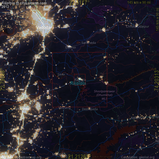
» Earth at Night: Flat Maps 2012, 2016