Vadodara night lights from space
Night Light of Vadodara (Gujarat) from space (India) Src. Average luminocity for 10x10km area is 98.1667% and for 50x50km: 37.869%.
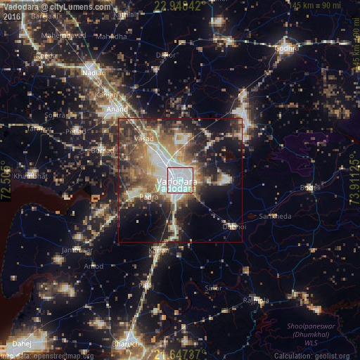
Analysis of Vadodara night lights 2016
Square area 10x10 km:
 63.07%
90-99
30.87%80-89
4.36%70-79
1.14%60-69
0.57%50-59
0%40-49
0%30-39
0%20-29
0%10-19
0%0-9
0%Square area 50x50 km:
5.29%90-99
8.06%80-89
4.33%70-79
4.33%60-69
6.5%50-59
6.98%40-49
6.45%30-39
6.57%20-29
8.83%10-19
14.4%0-9
28.25%Clear (daylight) street map image can be seen on geolist.org.
Map coordinates:
22° 56' 54.3" North, 72° 30' 18" East
22° 17' 57.9" North, 73° 12' 29.2" East
21° 38' 50.5" North, 73° 54' 40.5" East
Some cities around Vadodara sort by population:
• Anand
38.3 km =23.8 mi,  317°
317°
• Borsad
34.1 km =21.2 mi,  290°
290°
• Dabhoi
26.5 km =16.5 mi,  119°
119°
• Hālol
35.4 km =22 mi,  50°
50°
• Padra
14.3 km =8.9 mi,  242°
242°
• Vallabh Vidyanagar
41 km =25.5 mi,  309°
309°
• Vāghodia
19.8 km =12.3 mi,  88°
88°
• Sankheda
40.7 km =25.3 mi,  110°
110°
1253573 (p: 1,409,476)
Sources (retrieved 2019-11-25):
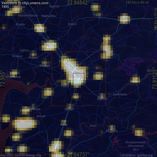
» NASA, Earths city lights 1995
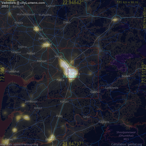
» NASA city lights 2003
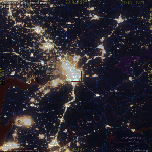
» Earth at Night: Flat Maps 2012, 2016