Rājgarh night lights from space
Night Light of Rājgarh (Madhya Pradesh) from space (India) Src. Average luminocity for 10x10km area is 18.5511% and for 50x50km: 5.8581%.
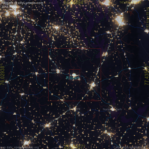
Analysis of Rājgarh night lights 2016
Square area 10x10 km:
 2.65%
2.65%90-99
3.41%80-89
2.27%70-79
1.89%60-69
1.33%50-59
3.6%40-49
1.89%30-39
1.7%20-29
2.08%10-19
9.28%0-9
69.89%Square area 50x50 km:
0.41%90-99
0.64%80-89
0.38%70-79
0.44%60-69
0.71%50-59
1.22%40-49
1.37%30-39
1.17%20-29
1.56%10-19
3.19%0-9
88.9%Clear (daylight) street map image can be seen on geolist.org.
Map coordinates:
24° 38' 56.2" North, 76° 1' 45.8" East
24° 0' 29.7" North, 76° 43' 57" East
23° 21' 51.7" North, 77° 26' 8.3" East
Some cities around Rājgarh sort by population:
• Biaora
20.6 km =12.8 mi,  118°
118°
• Narsinghgarh
49.6 km =30.8 mi,  132°
132°
• Aklera
48 km =29.8 mi,  339°
339°
• Khilchipur
16.1 km =10 mi,  282°
282°
• Manohar Thāna
26.7 km =16.6 mi,  15°
15°
• Khujner
27.3 km =17 mi,  205°
205°
• Talen
48.8 km =30.3 mi,  180°
180°
• Māchalpur
44.3 km =27.5 mi,  287°
287°
1258875 (p: 26,164)
Sources (retrieved 2019-11-25):
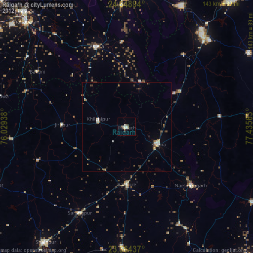
» Earth at Night: Flat Maps 2012, 2016