Narsinghgarh night lights from space
Night Light of Narsinghgarh (Madhya Pradesh) from space (India) Src. Average luminocity for 10x10km area is 19.1567% and for 50x50km: 5.2824%.
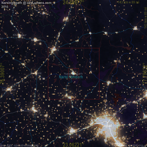
Analysis of Narsinghgarh night lights 2016
Square area 10x10 km:
 1.79%
1.79%90-99
3.77%80-89
0.79%70-79
1.59%60-69
1.59%50-59
4.76%40-49
2.18%30-39
4.17%20-29
5.75%10-19
7.14%0-9
66.47%Square area 50x50 km:
0.27%90-99
0.53%80-89
0.25%70-79
0.52%60-69
0.64%50-59
1.34%40-49
1.2%30-39
1.18%20-29
1.81%10-19
3.53%0-9
88.72%Clear (daylight) street map image can be seen on geolist.org.
Map coordinates:
24° 20' 59.2" North, 76° 23' 24.3" East
23° 42' 27.3" North, 77° 5' 35.5" East
23° 3' 44" North, 77° 47' 46.8" East
Some cities around Narsinghgarh sort by population:
• Sehore
56.4 km =35 mi,  181°
181°
• Shujālpur
51.4 km =31.9 mi,  229°
229°
• Biaora
30.1 km =18.7 mi,  321°
321°
• Berasia
35.7 km =22.2 mi,  103°
103°
• Rājgarh
49.6 km =30.8 mi,  312°
312°
• Leteri
50.6 km =31.4 mi,  39°
39°
• Khujner
49.2 km =30.6 mi,  280°
280°
• Talen
40.2 km =25 mi,  247°
247°
1261752 (p: 29,981)
Sources (retrieved 2019-11-25):
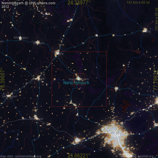
» Earth at Night: Flat Maps 2012, 2016