Raipur night lights from space
Night Light of Raipur (Chhattisgarh) from space (India) Src. Average luminocity for 10x10km area is 97.0397% and for 50x50km: 50.7269%.
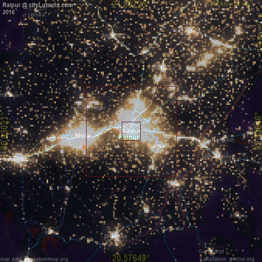

Analysis of Raipur night lights 2016
Square area 10x10 km:
 71.63%
90-99
19.44%80-89
2.38%70-79
2.38%60-69
2.98%50-59
1.19%40-49
0%30-39
0%20-29
0%10-19
0%0-9
0%Square area 50x50 km:
11.93%90-99
9.17%80-89
4.67%70-79
5.28%60-69
7.23%50-59
9.25%40-49
9.44%30-39
8.29%20-29
11.45%10-19
15.34%0-9
7.96%Clear (daylight) street map image can be seen on geolist.org.
Map coordinates:
21° 53' 14.1" North, 80° 55' 48.8" East
21° 13' 60" North, 81° 37' 60" East
20° 34' 35.4" North, 82° 20' 11.3" East
Some cities around Raipur sort by population:
• Bhilai
21.4 km =13.3 mi,  262°
262°
• Durg
37.3 km =23.2 mi, 262°
• Kumhāri
12.6 km =7.8 mi,  287°
287°
• Arang
35 km =21.7 mi,  96°
96°
• Simga
44.5 km =27.7 mi,  9°
9°
• Kurud
45.7 km =28.4 mi,  168°
168°
• Pātan
24.5 km =15.2 mi,  205°
205°
• Bhatgaon
11.6 km =7.2 mi,  143°
143°
1258980 (p: 679,995)
Sources (retrieved 2019-11-25):
» NASA, Earths city lights 1995
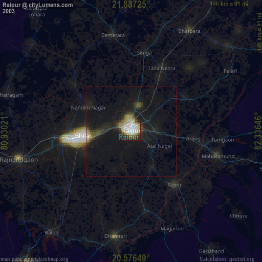
» NASA city lights 2003
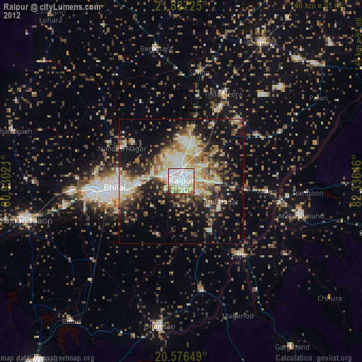
» Earth at Night: Flat Maps 2012, 2016