Puri night lights from space
Night Light of Puri (Odisha) from space (India) Src. Average luminocity for 10x10km area is 50.5434% and for 50x50km: 4.5841%.
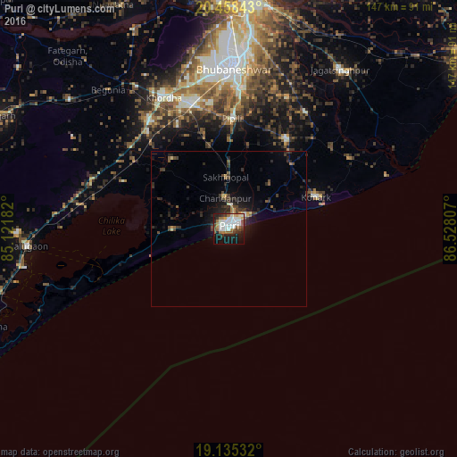
Analysis of Puri night lights 2016
Square area 10x10 km:
 9.92%
9.92%90-99
16.74%80-89
2.69%70-79
4.55%60-69
7.85%50-59
6.2%40-49
6.2%30-39
5.58%20-29
8.06%10-19
23.55%0-9
8.68%Square area 50x50 km:
0.43%90-99
0.72%80-89
0.32%70-79
0.35%60-69
0.51%50-59
0.58%40-49
0.85%30-39
1.2%20-29
1.64%10-19
3.73%0-9
89.67%Clear (daylight) street map image can be seen on geolist.org.
Map coordinates:
20° 27' 30.3" North, 85° 7' 18.6" East
19° 47' 53.7" North, 85° 49' 29.8" East
19° 8' 7.2" North, 86° 31' 41.1" East
Some cities around Puri sort by population:
• Bhubaneshwar
52.7 km =32.7 mi,  1°
1°
• Jatani
42 km =26.1 mi,  343°
343°
• Khurda
48 km =29.8 mi,  332°
332°
• Jagatsinghapur
62.4 km =38.8 mi,  35°
35°
• Nimāparha
34.4 km =21.4 mi,  33°
33°
• Bānapur
68.5 km =42.6 mi,  268°
268°
• Konārka
32.2 km =20 mi,  69°
69°
• Pipili
35.1 km =21.8 mi, 1°
1259184 (p: 170,841)
Sources (retrieved 2019-11-25):
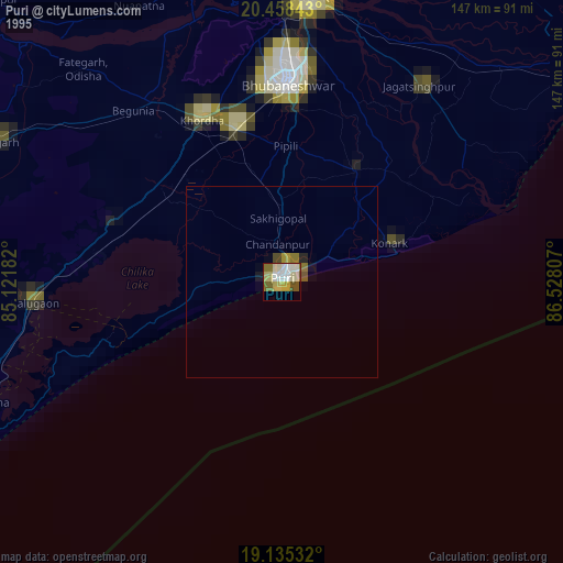
» NASA, Earths city lights 1995
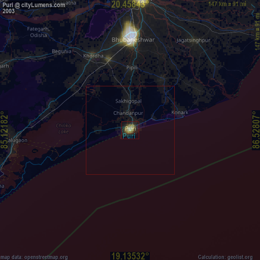
» NASA city lights 2003
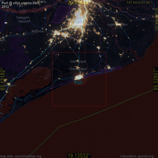
» Earth at Night: Flat Maps 2012, 2016