Jagatsinghapur night lights from space
Night Light of Jagatsinghapur (Odisha) from space (India) Src. Average luminocity for 10x10km area is 26.3591% and for 50x50km: 13.3667%.
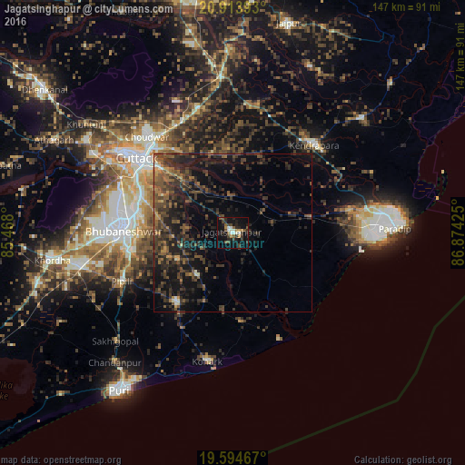
Analysis of Jagatsinghapur night lights 2016
Square area 10x10 km:
 1.98%
1.98%90-99
5.16%80-89
0.4%70-79
2.18%60-69
2.38%50-59
6.75%40-49
3.57%30-39
8.53%20-29
7.34%10-19
29.37%0-9
32.34%Square area 50x50 km:
0.13%90-99
0.66%80-89
0.43%70-79
1.03%60-69
1.78%50-59
3.42%40-49
4.47%30-39
5.31%20-29
7.45%10-19
12.42%0-9
62.89%Clear (daylight) street map image can be seen on geolist.org.
Map coordinates:
20° 54' 50.1" North, 85° 28' 4.8" East
20° 15' 20.5" North, 86° 10' 16" East
19° 35' 40.8" North, 86° 52' 27.3" East
Some cities around Jagatsinghapur sort by population:
• Bhubaneshwar
35.2 km =21.9 mi,  273°
273°
• Cuttack
38.3 km =23.8 mi,  307°
307°
• Parādīp Garh
46.1 km =28.6 mi,  81°
81°
• Jatani
49.5 km =30.8 mi,  257°
257°
• Kendrāparha
37.9 km =23.5 mi,  43°
43°
• Nimāparha
28.1 km =17.5 mi,  218°
218°
• Konārka
40.3 km =25 mi,  188°
188°
• Pipili
38.8 km =24.1 mi,  245°
245°
1269581 (p: 32,945)
Sources (retrieved 2019-11-25):
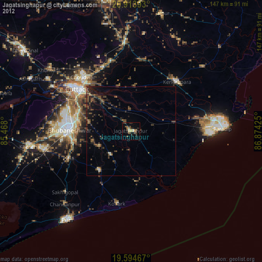
» Earth at Night: Flat Maps 2012, 2016