Khurda night lights from space
Night Light of Khurda (Odisha) from space (India) Src. Average luminocity for 10x10km area is 56.2579% and for 50x50km: 25.4059%.
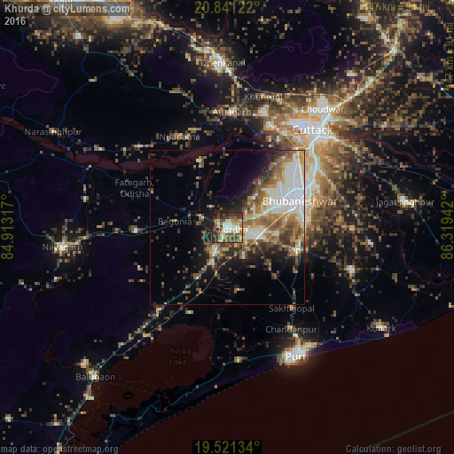
Analysis of Khurda night lights 2016
Square area 10x10 km:
 4.76%
4.76%90-99
16.67%80-89
5.95%70-79
6.55%60-69
5.75%50-59
13.49%40-49
13.29%30-39
12.5%20-29
16.47%10-19
4.56%0-9
0%Square area 50x50 km:
3.72%90-99
6.29%80-89
2.22%70-79
2.66%60-69
3.8%50-59
5.18%40-49
4.28%30-39
3.6%20-29
5%10-19
8.02%0-9
55.24%Clear (daylight) street map image can be seen on geolist.org.
Map coordinates:
20° 50' 28.4" North, 84° 54' 47.4" East
20° 10' 57.6" North, 85° 36' 58.6" East
19° 31' 16.8" North, 86° 19' 9.9" East
Some cities around Khurda sort by population:
• Bhubaneshwar
24.8 km =15.4 mi,  66°
66°
• Cuttack
41.7 km =25.9 mi,  41°
41°
• Puri
48 km =29.8 mi,  152°
152°
• Jatani
9.8 km =6.1 mi,  105°
105°
• Nimāparha
42.8 km =26.6 mi, 108°
• Āthagarh
37.5 km =23.3 mi,  2°
2°
• Bānki
23.6 km =14.7 mi,  337°
337°
• Pipili
23.7 km =14.7 mi, 108°
1266616 (p: 42,526)
Sources (retrieved 2019-11-25):
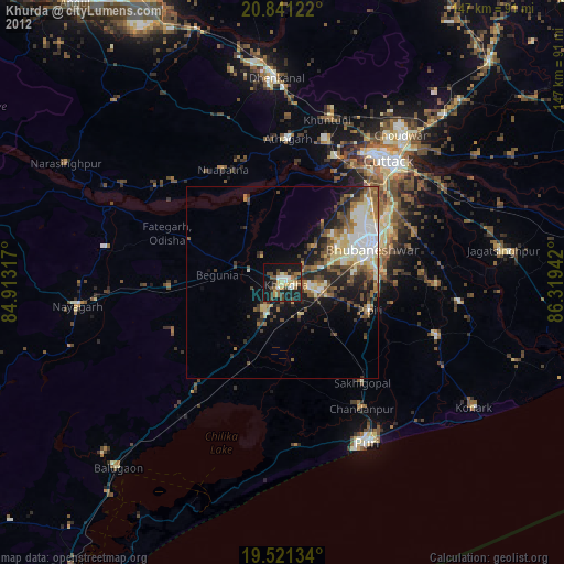
» Earth at Night: Flat Maps 2012, 2016