Bhubaneshwar night lights from space
Night Light of Bhubaneshwar (Odisha) from space (India) Src. Average luminocity for 10x10km area is 97.1766% and for 50x50km: 43.2797%.
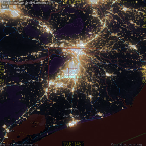
Analysis of Bhubaneshwar night lights 2016
Square area 10x10 km:
 47.42%
90-99
45.24%80-89
4.37%70-79
2.78%60-69
0.2%50-59
0%40-49
0%30-39
0%20-29
0%10-19
0%0-9
0%Square area 50x50 km:
5.48%90-99
10.32%80-89
4.03%70-79
5.81%60-69
6.82%50-59
8.47%40-49
8.2%30-39
7.17%20-29
9.12%10-19
15.68%0-9
18.9%Clear (daylight) street map image can be seen on geolist.org.
Map coordinates:
20° 55' 50.1" North, 85° 7' 50.6" East
20° 16' 20.7" North, 85° 50' 1.9" East
19° 36' 41.2" North, 86° 32' 13.1" East
Some cities around Bhubaneshwar sort by population:
• Cuttack
21.9 km =13.6 mi,  12°
12°
• Jatani
18.2 km =11.3 mi,  226°
226°
• Khurda
24.8 km =15.4 mi,  246°
246°
• Jagatsinghapur
35.2 km =21.9 mi,  93°
93°
• Nimāparha
29.8 km =18.5 mi,  143°
143°
• Āthagarh
34.8 km =21.6 mi,  322°
322°
• Bānki
33.9 km =21.1 mi,  290°
290°
• Pipili
17.7 km =11 mi,  180°
180°
1275817 (p: 762,243)
Sources (retrieved 2019-11-25):
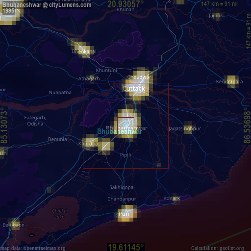
» NASA, Earths city lights 1995
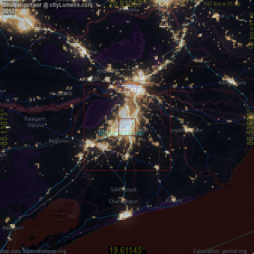
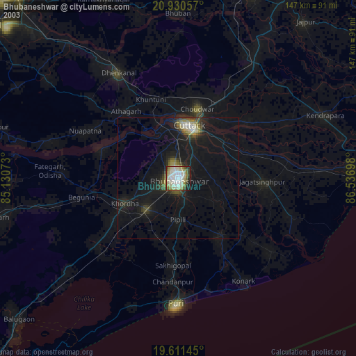
» NASA city lights 2003
» Earth at Night: Flat Maps 2012, 2016