Punganūru night lights from space
Night Light of Punganūru (Andhra Pradesh) from space (India) Src. Average luminocity for 10x10km area is 9.1157% and for 50x50km: 4.9278%.
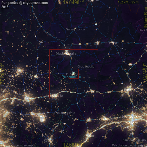
Analysis of Punganūru night lights 2016
Square area 10x10 km:
 0%
0%90-99
3.1%80-89
1.86%70-79
0.83%60-69
0%50-59
0.83%40-49
1.24%30-39
2.27%20-29
0.62%10-19
2.48%0-9
86.78%Square area 50x50 km:
0.12%90-99
0.8%80-89
0.79%70-79
0.27%60-69
0.5%50-59
0.93%40-49
1.13%30-39
1.09%20-29
1.11%10-19
3.08%0-9
90.19%Clear (daylight) street map image can be seen on geolist.org.
Map coordinates:
14° 2' 59.3" North, 77° 52' 7.5" East
13° 22' 0.2" North, 78° 34' 18.7" East
12° 40' 54.1" North, 79° 16' 30" East
Some cities around Punganūru sort by population:
• Robertsonpet
55.8 km =34.7 mi,  215°
215°
• Kolār
54.2 km =33.7 mi,  241°
241°
• Madanapalle
21.7 km =13.5 mi,  339°
339°
• Chintāmani
56.4 km =35 mi,  273°
273°
• Mulbāgal
29.7 km =18.5 mi, 220°
• Peranāmpattu
50.6 km =31.4 mi,  161°
161°
• Palmaner
26.5 km =16.5 mi,  134°
134°
• Srīnivāspur
39.1 km =24.3 mi, 265°
1259228 (p: 48,865)
Sources (retrieved 2019-11-25):
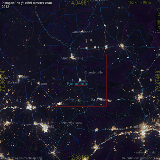
» Earth at Night: Flat Maps 2012, 2016