Kolār night lights from space
Night Light of Kolār (Karnataka) from space (India) Src. Average luminocity for 10x10km area is 61.8615% and for 50x50km: 21.3636%.
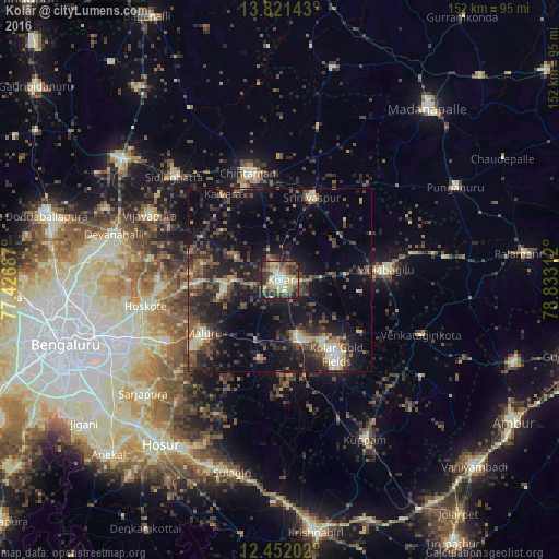
Analysis of Kolār night lights 2016
Square area 10x10 km:
 5.19%
5.19%90-99
14.29%80-89
15.15%70-79
9.09%60-69
7.58%50-59
10.17%40-49
13.85%30-39
12.34%20-29
10.39%10-19
1.95%0-9
0%Square area 50x50 km:
0.78%90-99
2.58%80-89
2.48%70-79
1.58%60-69
2.24%50-59
4.11%40-49
5.66%30-39
6.36%20-29
9.35%10-19
17.9%0-9
46.97%Clear (daylight) street map image can be seen on geolist.org.
Map coordinates:
13° 49' 17.1" North, 77° 25' 36.7" East
13° 8' 15.6" North, 78° 7' 48" East
12° 27' 7.3" North, 78° 49' 59.2" East
Some cities around Kolār sort by population:
• Robertsonpet
25.6 km =15.9 mi,  142°
142°
• Chintāmani
30.4 km =18.9 mi,  343°
343°
• Mulbāgal
28.7 km =17.8 mi,  84°
84°
• Bangarapet
17.1 km =10.6 mi,  162°
162°
• Hoskote
36.7 km =22.8 mi,  258°
258°
• Vadigenhalli
39.7 km =24.7 mi,  296°
296°
• Mālūr
25.6 km =15.9 mi,  234°
234°
• Srīnivāspur
24.1 km =15 mi,  21°
21°
1266305 (p: 126,441)
Sources (retrieved 2019-11-25):
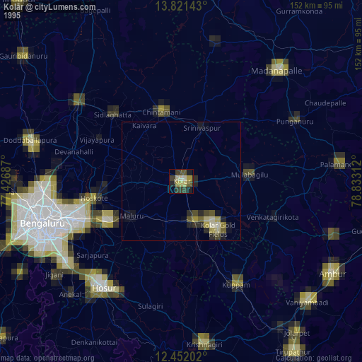
» NASA, Earths city lights 1995
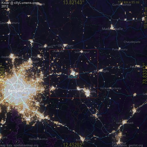
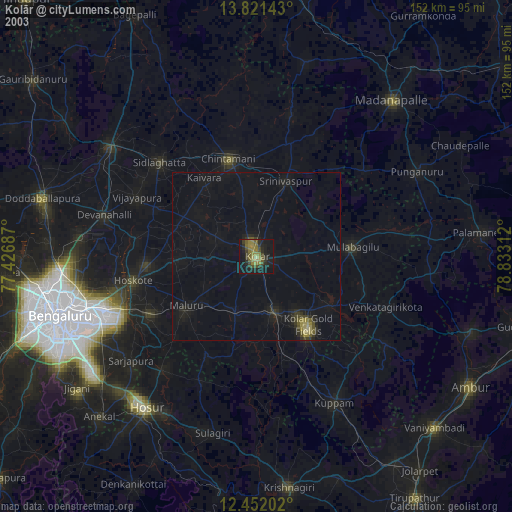
» NASA city lights 2003
» Earth at Night: Flat Maps 2012, 2016