Mulbāgal night lights from space
Night Light of Mulbāgal (Karnataka) from space (India) Src. Average luminocity for 10x10km area is 33.197% and for 50x50km: 10.6319%.
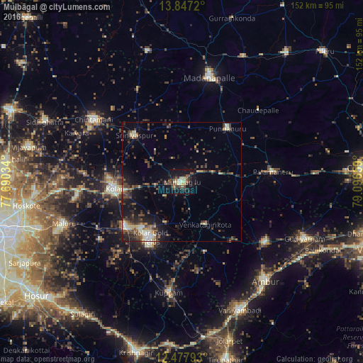
Analysis of Mulbāgal night lights 2016
Square area 10x10 km:
 0.43%
0.43%90-99
6.06%80-89
6.49%70-79
1.95%60-69
3.68%50-59
8.87%40-49
6.49%30-39
5.84%20-29
9.31%10-19
40.48%0-9
10.39%Square area 50x50 km:
0.38%90-99
1.48%80-89
1.41%70-79
0.7%60-69
1.02%50-59
1.87%40-49
2.67%30-39
2.6%20-29
4.01%10-19
7.77%0-9
76.09%Clear (daylight) street map image can be seen on geolist.org.
Map coordinates:
13° 50' 49.9" North, 77° 41' 25.2" East
13° 9' 48.7" North, 78° 23' 36.5" East
12° 28' 40.5" North, 79° 5' 47.7" East
Some cities around Mulbāgal sort by population:
• Robertsonpet
26.4 km =16.4 mi,  209°
209°
• Kolār
28.7 km =17.8 mi,  264°
264°
• Madanapalle
44.6 km =27.7 mi,  15°
15°
• Punganūru
29.7 km =18.5 mi,  40°
40°
• Peranāmpattu
43.5 km =27 mi,  125°
125°
• Bangarapet
30.2 km =18.8 mi,  230°
230°
• Palmaner
38.5 km =23.9 mi,  83°
83°
• Srīnivāspur
27.7 km =17.2 mi,  314°
314°
1262562 (p: 47,462)
Sources (retrieved 2019-11-25):
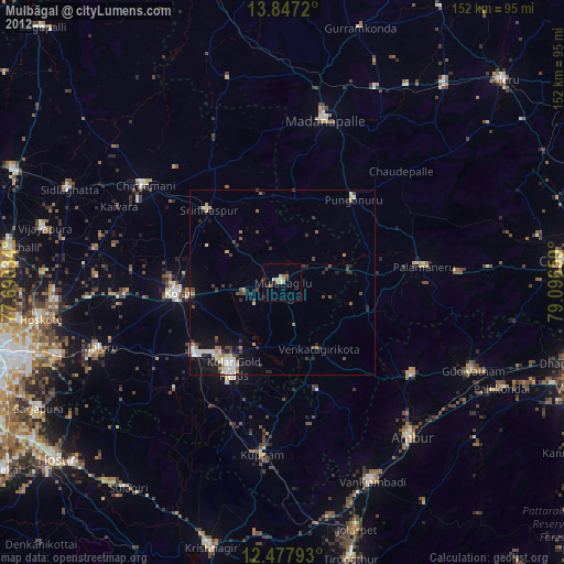
» Earth at Night: Flat Maps 2012, 2016