Robertsonpet night lights from space
Night Light of Robertsonpet (Karnataka) from space (India) Src. Average luminocity for 10x10km area is 60.329% and for 50x50km: 15.4155%.

Analysis of Robertsonpet night lights 2016
Square area 10x10 km:
 8.23%
8.23%90-99
20.78%80-89
8.66%70-79
6.28%60-69
8.44%50-59
7.79%40-49
7.79%30-39
7.58%20-29
9.52%10-19
14.94%0-9
0%Square area 50x50 km:
0.68%90-99
2.01%80-89
1.92%70-79
1.07%60-69
1.51%50-59
2.89%40-49
3.75%30-39
4.23%20-29
6.16%10-19
12.38%0-9
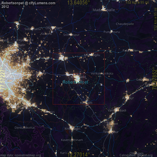
63.4%Clear (daylight) street map image can be seen on geolist.org.
Map coordinates:
13° 38' 26" North, 77° 34' 20.2" East
12° 57' 22.6" North, 78° 16' 31.4" East
12° 16' 12.5" North, 78° 58' 42.7" East
Some cities around Robertsonpet sort by population:
• Kolār
25.6 km =15.9 mi,  322°
322°
• Vaniyambadi
48.3 km =30 mi,  129°
129°
• Mulbāgal
26.4 km =16.4 mi,  29°
29°
• Peranāmpattu
48.1 km =29.9 mi,  92°
92°
• Bangarapet
11.2 km =7 mi,  290°
290°
• Mālūr
36.9 km =22.9 mi,  278°
278°
• Srīnivāspur
43.1 km =26.8 mi,  350°
350°
• Kuppam
24.1 km =15 mi,  162°
162°
1258109 (p: 135,218)
Sources (retrieved 2019-11-25):
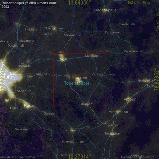
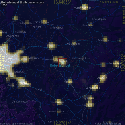
» NASA, Earths city lights 1995
» NASA city lights 2003
» Earth at Night: Flat Maps 2012, 2016