Palmaner night lights from space
Night Light of Palmaner (Andhra Pradesh) from space (India) Src. Average luminocity for 10x10km area is 14.0216% and for 50x50km: 2.6049%.
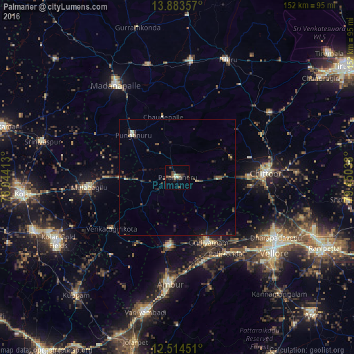
Analysis of Palmaner night lights 2016
Square area 10x10 km:
 0%
0%90-99
1.52%80-89
2.38%70-79
0.43%60-69
0.87%50-59
4.76%40-49
6.06%30-39
3.03%20-29
1.73%10-19
0%0-9
79.22%Square area 50x50 km:
0%90-99
0.23%80-89
0.27%70-79
0.09%60-69
0.15%50-59
0.6%40-49
0.91%30-39
0.8%20-29
0.78%10-19
1.31%0-9
94.86%Clear (daylight) street map image can be seen on geolist.org.
Map coordinates:
13° 53' 0.9" North, 78° 2' 38.9" East
13° 12' 0" North, 78° 44' 50.1" East
12° 30' 52.2" North, 79° 27' 1.4" East
Some cities around Palmaner sort by population:
• Ambur
45.5 km =28.3 mi,  184°
184°
• Madanapalle
47.1 km =29.3 mi,  325°
325°
• Gudiyatham
31.4 km =19.5 mi,  154°
154°
• Punganūru
26.5 km =16.5 mi,  314°
314°
• Mulbāgal
38.5 km =23.9 mi,  263°
263°
• Peranāmpattu
29.7 km =18.5 mi,  185°
185°
• Pallikondai
39 km =24.2 mi, 147°
• Pudūr
48.4 km =30.1 mi,  117°
117°
1260674 (p: 42,179)
Sources (retrieved 2019-11-25):
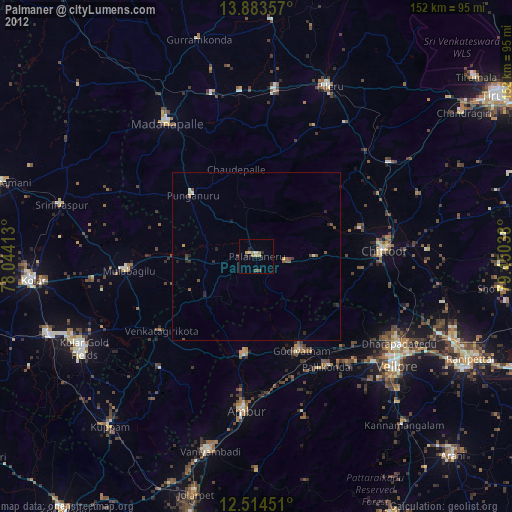
» Earth at Night: Flat Maps 2012, 2016