Polasara night lights from space
Night Light of Polasara (Odisha) from space (India) Src. Average luminocity for 10x10km area is 13.843% and for 50x50km: 6.0703%.
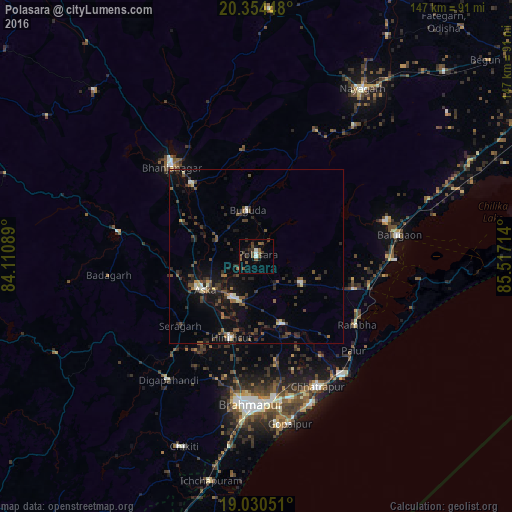
Analysis of Polasara night lights 2016
Square area 10x10 km:
 0.83%
0.83%90-99
1.65%80-89
0%70-79
0%60-69
1.24%50-59
6.2%40-49
3.51%30-39
5.17%20-29
1.45%10-19
4.13%0-9
75.83%Square area 50x50 km:
0.28%90-99
0.62%80-89
0.36%70-79
0.21%60-69
0.52%50-59
1.35%40-49
1.67%30-39
1.62%20-29
2.32%10-19
4.35%0-9
86.7%Clear (daylight) street map image can be seen on geolist.org.
Map coordinates:
20° 21' 16.1" North, 84° 6' 39.2" East
19° 41' 37.9" North, 84° 48' 50.4" East
19° 1' 49.8" North, 85° 31' 1.7" East
Some cities around Polasara sort by population:
• Hinjilikatu
24.7 km =15.3 mi,  197°
197°
• Āsika
18.6 km =11.6 mi,  240°
240°
• Bhanjanagar
35.5 km =22.1 mi,  316°
316°
• Purushottampur
20.7 km =12.9 mi,  158°
158°
• Buguda
12.9 km =8 mi,  349°
349°
• Kodala
15.4 km =9.6 mi,  120°
120°
• Khallikot
30 km =18.6 mi,  108°
108°
• Belaguntha
27.9 km =17.3 mi, 318°
1259446 (p: 20,577)
Sources (retrieved 2019-11-25):
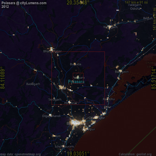
» Earth at Night: Flat Maps 2012, 2016