Bhanjanagar night lights from space
Night Light of Bhanjanagar (Odisha) from space (India) Src. Average luminocity for 10x10km area is 22.9524% and for 50x50km: 2.4466%.
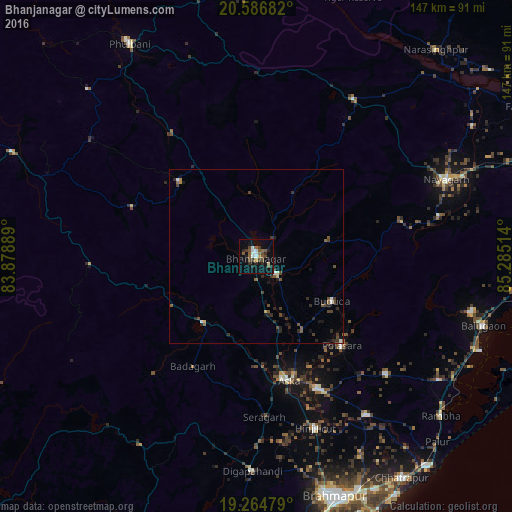
Analysis of Bhanjanagar night lights 2016
Square area 10x10 km:
 2.81%
2.81%90-99
3.25%80-89
0.87%70-79
1.73%60-69
0.43%50-59
7.79%40-49
5.84%30-39
3.68%20-29
5.84%10-19
15.8%0-9
51.95%Square area 50x50 km:
0.2%90-99
0.24%80-89
0.12%70-79
0.15%60-69
0.07%50-59
0.66%40-49
0.73%30-39
0.63%20-29
0.85%10-19
1.24%0-9
95.11%Clear (daylight) street map image can be seen on geolist.org.
Map coordinates:
20° 35' 12.6" North, 83° 52' 44" East
19° 55' 37.9" North, 84° 34' 55.2" East
19° 15' 53.2" North, 85° 17' 6.5" East
Some cities around Bhanjanagar sort by population:
• Hinjilikatu
52.4 km =32.6 mi,  161°
161°
• Āsika
36.1 km =22.4 mi,  166°
166°
• Polasara
35.5 km =22.1 mi,  136°
136°
• Sorada
24.4 km =15.2 mi,  220°
220°
• Buguda
25.5 km =15.8 mi,  121°
121°
• Kodala
50.4 km =31.3 mi,  131°
131°
• Udayagiri
31.2 km =19.4 mi,  314°
314°
• Belaguntha
7.7 km =4.8 mi, 130°
1276159 (p: 20,647)
Sources (retrieved 2019-11-25):
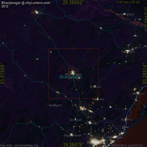
» Earth at Night: Flat Maps 2012, 2016