Hinjilikatu night lights from space
Night Light of Hinjilikatu (Odisha) from space (India) Src. Average luminocity for 10x10km area is 17.6322% and for 50x50km: 14.0953%.
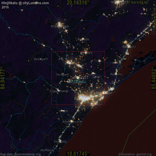
Analysis of Hinjilikatu night lights 2016
Square area 10x10 km:
 1.03%
1.03%90-99
2.27%80-89
0.62%70-79
0.21%60-69
2.89%50-59
2.89%40-49
3.31%30-39
4.96%20-29
6.2%10-19
8.68%0-9
66.94%Square area 50x50 km:
1.09%90-99
2.18%80-89
0.99%70-79
1.16%60-69
1.32%50-59
3.03%40-49
3.44%30-39
4.01%20-29
4.95%10-19
8.2%0-9
69.62%Clear (daylight) street map image can be seen on geolist.org.
Map coordinates:
20° 8' 35.4" North, 84° 2' 30.4" East
19° 28' 54" North, 84° 44' 41.6" East
18° 49' 2.8" North, 85° 26' 52.9" East
Some cities around Hinjilikatu sort by population:
• Brahmapur
19.6 km =12.2 mi,  165°
165°
• Āsika
16.9 km =10.5 mi,  328°
328°
• Chatrapur
28.7 km =17.8 mi,  119°
119°
• Polasara
24.7 km =15.3 mi,  17°
17°
• Purushottampur
15.3 km =9.5 mi,  73°
73°
• Kodala
25.9 km =16.1 mi,  52°
52°
• Digapahandi
21.8 km =13.5 mi,  236°
236°
• Gopālpur
30 km =18.6 mi,  145°
145°
1270066 (p: 22,779)
Sources (retrieved 2019-11-25):
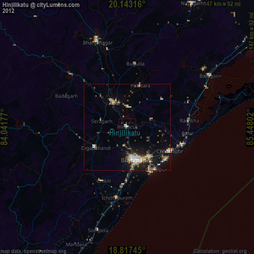
» Earth at Night: Flat Maps 2012, 2016