Āsika night lights from space
Night Light of Āsika (Odisha) from space (India) Src. Average luminocity for 10x10km area is 24.905% and for 50x50km: 6.479%.
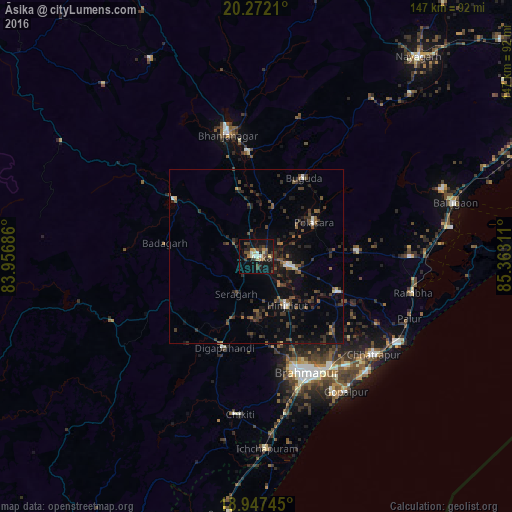
Analysis of Āsika night lights 2016
Square area 10x10 km:
 1.65%
1.65%90-99
3.72%80-89
2.89%70-79
2.27%60-69
2.69%50-59
2.69%40-49
7.85%30-39
2.48%20-29
8.47%10-19
30.37%0-9
34.92%Square area 50x50 km:
0.25%90-99
0.57%80-89
0.29%70-79
0.28%60-69
0.55%50-59
1.4%40-49
1.72%30-39
2.06%20-29
2.56%10-19
4.86%0-9
85.46%Clear (daylight) street map image can be seen on geolist.org.
Map coordinates:
20° 16' 19.6" North, 83° 57' 24.7" East
19° 36' 40.1" North, 84° 39' 35.9" East
18° 56' 50.8" North, 85° 21' 47.2" East
Some cities around Āsika sort by population:
• Hinjilikatu
16.9 km =10.5 mi,  148°
148°
• Polasara
18.6 km =11.6 mi,  60°
60°
• Sorada
29.3 km =18.2 mi,  304°
304°
• Purushottampur
25.7 km =16 mi,  113°
113°
• Buguda
25.8 km =16 mi,  32°
32°
• Kodala
29.4 km =18.3 mi,  87°
87°
• Digapahandi
28.1 km =17.5 mi,  199°
199°
• Belaguntha
30.3 km =18.8 mi,  355°
355°
1278279 (p: 21,134)
Sources (retrieved 2019-11-25):
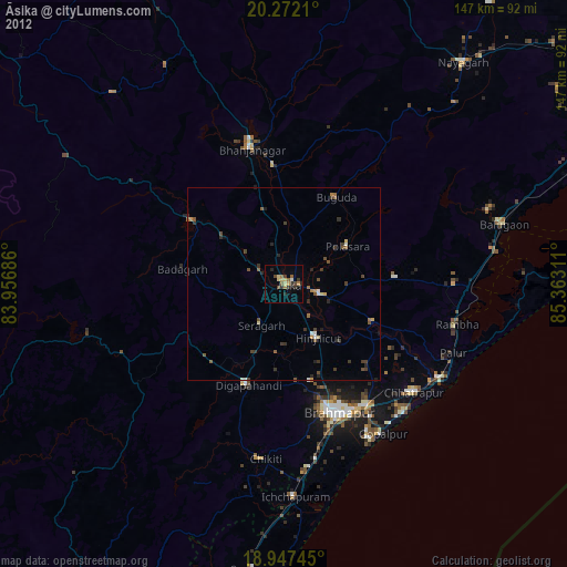
» Earth at Night: Flat Maps 2012, 2016