Pilkhua night lights from space
Night Light of Pilkhua (Uttar Pradesh) from space (India) Src. Average luminocity for 10x10km area is 70.214% and for 50x50km: 54.5448%.
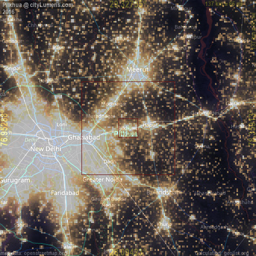
Analysis of Pilkhua night lights 2016
Square area 10x10 km:
 4.17%
4.17%90-99
15.72%80-89
22.54%70-79
10.61%60-69
13.64%50-59
14.39%40-49
12.12%30-39
6.63%20-29
0.19%10-19
0%0-9
0%Square area 50x50 km:
7%90-99
11.97%80-89
10.83%70-79
5.7%60-69
8.31%50-59
8.9%40-49
9.55%30-39
8.86%20-29
11.44%10-19
16.29%0-9
1.13%Clear (daylight) street map image can be seen on geolist.org.
Map coordinates:
29° 19' 39.2" North, 76° 57' 10.4" East
28° 42' 45.8" North, 77° 39' 21.6" East
28° 5' 39.2" North, 78° 21' 32.9" East
Some cities around Pilkhua sort by population:
• Hāpur
12.3 km =7.6 mi,  81°
81°
• Murādnagar
17.1 km =10.6 mi,  296°
296°
• Dādri
20.4 km =12.7 mi,  209°
209°
• Gulāothi
19.2 km =11.9 mi,  135°
135°
• Dāsna
13.6 km =8.5 mi,  253°
253°
• Kharkhauda
16.1 km =10 mi,  31°
31°
• Farīdnagar
6.8 km =4.2 mi,  337°
337°
• Babugarh
18.6 km =11.6 mi,  86°
86°
1259680 (p: 74,212)
Sources (retrieved 2019-11-25):
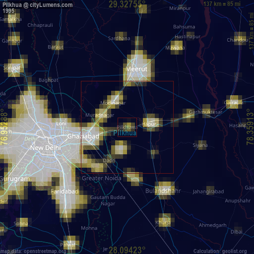
» NASA, Earths city lights 1995
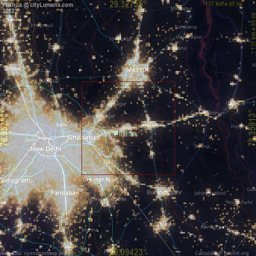
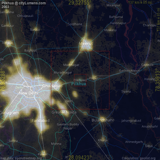
» NASA city lights 2003
» Earth at Night: Flat Maps 2012, 2016