Gulāothi night lights from space
Night Light of Gulāothi (Uttar Pradesh) from space (India) Src. Average luminocity for 10x10km area is 38.8977% and for 50x50km: 44.765%.
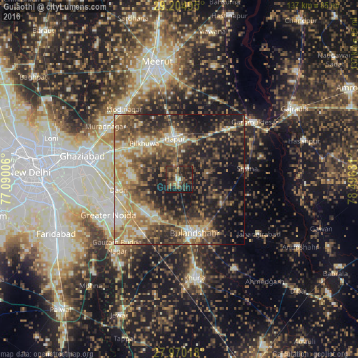
Analysis of Gulāothi night lights 2016
Square area 10x10 km:
 0.95%
0.95%90-99
4.73%80-89
1.89%70-79
4.36%60-69
6.44%50-59
8.14%40-49
11.55%30-39
19.51%20-29
18.37%10-19
24.05%0-9
0%Square area 50x50 km:
3.13%90-99
5.97%80-89
7.43%70-79
6.54%60-69
8.75%50-59
9.3%40-49
10.52%30-39
9.42%20-29
12.85%10-19
18.57%0-9
7.52%Clear (daylight) street map image can be seen on geolist.org.
Map coordinates:
29° 12' 17.8" North, 77° 5' 24.2" East
28° 35' 21.8" North, 77° 47' 35.4" East
27° 58' 12.6" North, 78° 29' 46.7" East
Some cities around Gulāothi sort by population:
• Hāpur
15.7 km =9.8 mi,  355°
355°
• Bulandshahr
21.6 km =13.4 mi,  162°
162°
• Pilkhua
19.2 km =11.9 mi,  315°
315°
• Sikandarābād
17.8 km =11.1 mi,  210°
210°
• Dādri
23.7 km =14.7 mi,  260°
260°
• Saidpur
11.6 km =7.2 mi,  78°
78°
• Farīdnagar
25.6 km =15.9 mi, 321°
• Babugarh
15.8 km =9.8 mi,  19°
19°
1270759 (p: 46,647)
Sources (retrieved 2019-11-25):
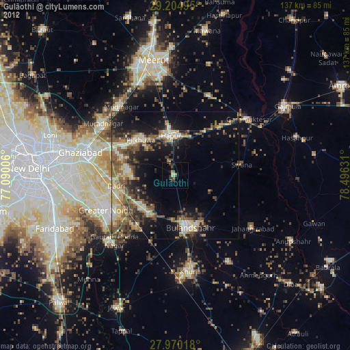
» Earth at Night: Flat Maps 2012, 2016