Dāsna night lights from space
Night Light of Dāsna (Uttar Pradesh) from space (India) Src. Average luminocity for 10x10km area is 88.7822% and for 50x50km: 68.2389%.
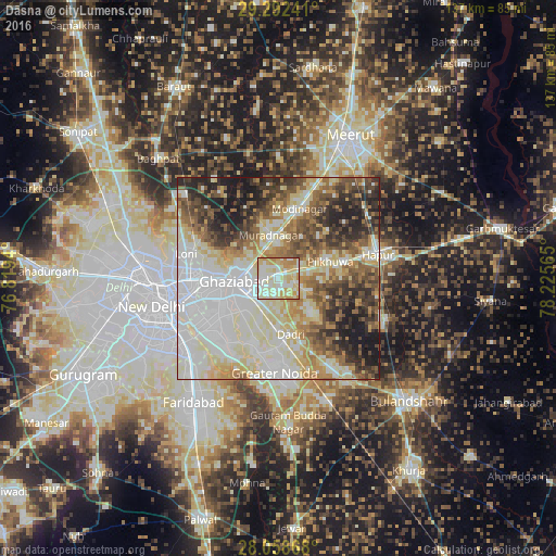
Analysis of Dāsna night lights 2016
Square area 10x10 km:
 17.23%
90-99
32.2%80-89
32.39%70-79
12.5%60-69
5.68%50-59
0%40-49
0%30-39
0%20-29
0%10-19
0%0-9
0%Square area 50x50 km:
18.3%90-99
17.13%80-89
12.38%70-79
6.08%60-69
7.86%50-59
8.19%40-49
7.84%30-39
7.09%20-29
8.23%10-19
6.89%0-9
0.01%Clear (daylight) street map image can be seen on geolist.org.
Map coordinates:
29° 17' 32.7" North, 76° 49' 9.8" East
28° 40' 38.5" North, 77° 31' 21.1" East
28° 3' 31.2" North, 78° 13' 32.3" East
Some cities around Dāsna sort by population:
• Ghāziābād
8.2 km =5.1 mi,  260°
260°
• Noida
21.7 km =13.5 mi,  240°
240°
• Greater Noida
20.2 km =12.6 mi,  176°
176°
• Murādnagar
11.7 km =7.3 mi,  348°
348°
• Pilkhua
13.6 km =8.5 mi,  73°
73°
• Dādri
14.2 km =8.8 mi,  167°
167°
• Farīdnagar
14.6 km =9.1 mi,  45°
45°
• Niwāri
22.2 km =13.8 mi,  3°
3°
1273416 (p: 27,926)
Sources (retrieved 2019-11-25):
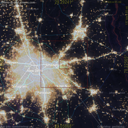
» Earth at Night: Flat Maps 2012, 2016