Patiāla night lights from space
Night Light of Patiāla (Punjab) from space (India) Src. Average luminocity for 10x10km area is 88.2253% and for 50x50km: 18.8316%.
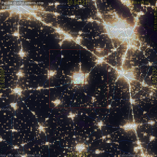
Analysis of Patiāla night lights 2016
Square area 10x10 km:
 22.89%
90-99
34.43%80-89
25.64%70-79
5.31%60-69
3.66%50-59
3.66%40-49
3.66%30-39
0.73%20-29
0%10-19
0%0-9
0%Square area 50x50 km:
1.48%90-99
3.1%80-89
2.9%70-79
1.75%60-69
1.68%50-59
2.89%40-49
3.78%30-39
4.18%20-29
6.17%10-19
11.4%0-9
60.66%Clear (daylight) street map image can be seen on geolist.org.
Map coordinates:
30° 56' 28.4" North, 75° 41' 20.7" East
30° 20' 10.5" North, 76° 23' 31.9" East
29° 43' 39.1" North, 77° 5' 43.2" East
Some cities around Patiāla sort by population:
• Ambāla
39 km =24.2 mi,  85°
85°
• Rājpura
24.9 km =15.5 mi,  50°
50°
• Nābha
23.4 km =14.5 mi,  280°
280°
• Sirhind
34.1 km =21.2 mi,  358°
358°
• Bhawānīgarh
34.8 km =21.6 mi,  257°
257°
• Sanaur
7.4 km =4.6 mi,  121°
121°
• Amloh
33.9 km =21.1 mi,  333°
333°
• Ghanaur
21.1 km =13.1 mi, 91°
1260107 (p: 329,224)
Sources (retrieved 2019-11-25):
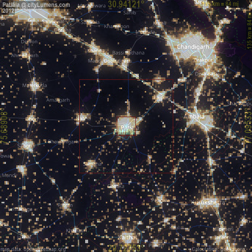
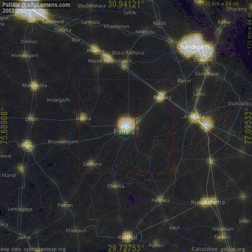
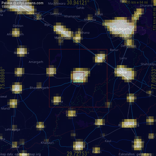
» NASA, Earths city lights 1995
» NASA city lights 2003
» Earth at Night: Flat Maps 2012, 2016