Rājpura night lights from space
Night Light of Rājpura (Punjab) from space (India) Src. Average luminocity for 10x10km area is 61.8736% and for 50x50km: 38.6417%.
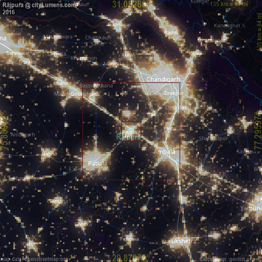
Analysis of Rājpura night lights 2016
Square area 10x10 km:
 8.06%
8.06%90-99
13%80-89
10.07%70-79
8.61%60-69
5.86%50-59
15.75%40-49
18.86%30-39
8.42%20-29
11.17%10-19
0.18%0-9
0%Square area 50x50 km:
5.33%90-99
8.85%80-89
6.03%70-79
2.89%60-69
3.83%50-59
5.79%40-49
7.54%30-39
7.63%20-29
11.72%10-19
14.87%0-9
25.52%Clear (daylight) street map image can be seen on geolist.org.
Map coordinates:
31° 4' 57.5" North, 75° 53' 23" East
30° 28' 42.8" North, 76° 35' 34.2" East
29° 52' 14.6" North, 77° 17' 45.5" East
Some cities around Rājpura sort by population:
• Patiāla
24.9 km =15.5 mi,  230°
230°
• Ambāla
23.6 km =14.7 mi,  123°
123°
• Mohali
25.6 km =15.9 mi,  28°
28°
• Sirhind
27.1 km =16.8 mi,  312°
312°
• Basi
27 km =16.8 mi,  63°
63°
• Sanaur
23.5 km =14.6 mi,  213°
213°
• Banūr
14.8 km =9.2 mi, 55°
• Ghanaur
16.5 km =10.3 mi,  173°
173°
1258803 (p: 86,820)
Sources (retrieved 2019-11-25):
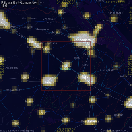
» NASA, Earths city lights 1995
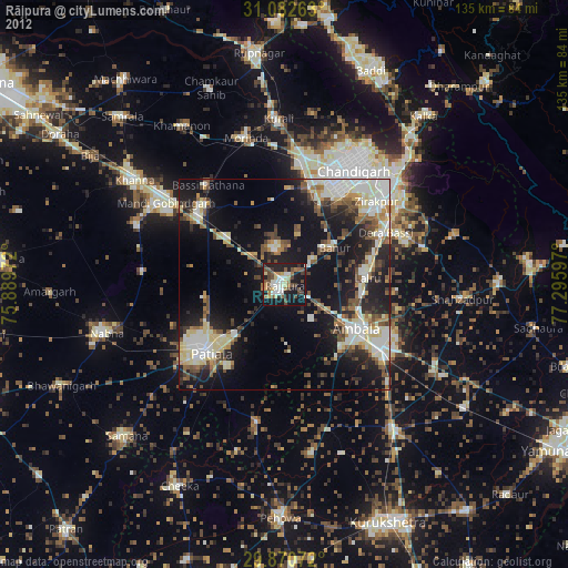
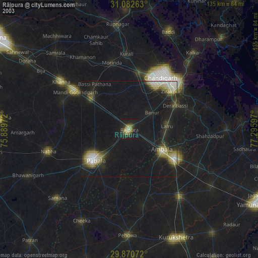
» NASA city lights 2003
» Earth at Night: Flat Maps 2012, 2016