Pathānkot night lights from space
Night Light of Pathānkot (Punjab) from space (India) Src. Average luminocity for 10x10km area is 77.6886% and for 50x50km: 20.0236%.
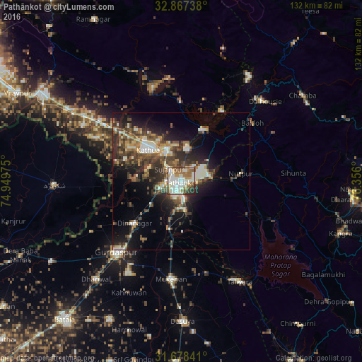
Analysis of Pathānkot night lights 2016
Square area 10x10 km:
 13.55%
90-99
35.71%80-89
7.69%70-79
6.78%60-69
8.97%50-59
15.57%40-49
3.85%30-39
4.21%20-29
3.66%10-19
0%0-9
0%Square area 50x50 km:
1.77%90-99
4.61%80-89
1.7%70-79
1.92%60-69
2.43%50-59
3.57%40-49
4.7%30-39
4.04%20-29
6.34%10-19
9.99%0-9
58.92%Clear (daylight) street map image can be seen on geolist.org.
Map coordinates:
32° 52' 2.6" North, 74° 56' 59.1" East
32° 16' 29.4" North, 75° 39' 10.3" East
31° 40' 42.3" North, 76° 21' 21.6" East
Some cities around Pathānkot sort by population:
• Kathua
15.9 km =9.9 mi,  311°
311°
• Talwāra
43.5 km =27 mi,  149°
149°
• Dīnānagar
22.9 km =14.2 mi,  227°
227°
• Mukeriān
35.8 km =22.2 mi,  185°
185°
• Hirānagar
41 km =25.5 mi,  299°
299°
• Parol
22 km =13.7 mi,  291°
291°
• Dalhousie
41.4 km =25.7 mi,  41°
41°
• Hājipur
34.5 km =21.4 mi,  163°
163°
1260137 (p: 174,306)
Sources (retrieved 2019-11-25):
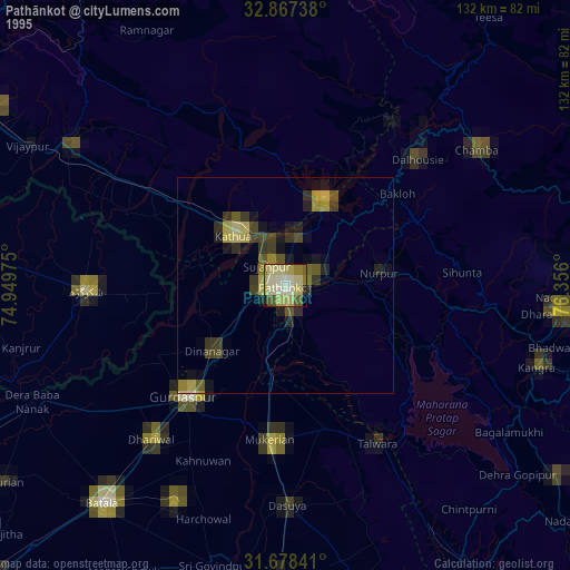
» NASA, Earths city lights 1995
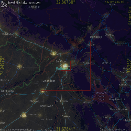
» NASA city lights 2003
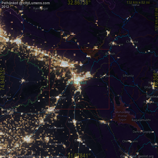
» Earth at Night: Flat Maps 2012, 2016