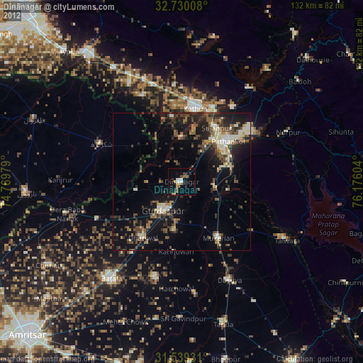
Dīnānagar night lights from space
Night Light of Dīnānagar (Punjab) from space (India) Src. Average luminocity for 10x10km area is 15.5227% and for 50x50km: 16.465%.
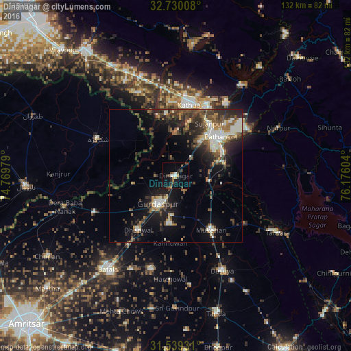
Analysis of Dīnānagar night lights 2016
Square area 10x10 km:
 1.57%
1.57%90-99
1.22%80-89
0.7%70-79
1.4%60-69
2.62%50-59
1.57%40-49
5.42%30-39
2.27%20-29
2.1%10-19
12.94%0-9
68.18%Square area 50x50 km:
1.23%90-99
3.51%80-89
1.24%70-79
1.19%60-69
1.82%50-59
2.97%40-49
4.01%30-39
3.97%20-29
5.4%10-19
9.46%0-9
65.21%Clear (daylight) street map image can be seen on geolist.org.
Map coordinates:
32° 43' 48.3" North, 74° 46' 11.2" East
32° 8' 11.9" North, 75° 28' 22.5" East
31° 32' 21.5" North, 76° 10' 33.7" East
Some cities around Dīnānagar sort by population:
• Pathānkot
22.9 km =14.2 mi,  47°
47°
• Shakargarh, PK
32.6 km =20.3 mi,  295°
295°
• Kathua
26.3 km =16.3 mi,  10°
10°
• Mukeriān
24.4 km =15.2 mi,  146°
146°
• Dhāriwāl
24.5 km =15.2 mi,  214°
214°
• Kalanaur
33.4 km =20.8 mi,  245°
245°
• Parol
23.6 km =14.7 mi,  351°
351°
• Hājipur
31.9 km =19.8 mi,  123°
123°
1272546 (p: 23,339)
Sources (retrieved 2019-11-25):
» Earth at Night: Flat Maps 2012, 2016