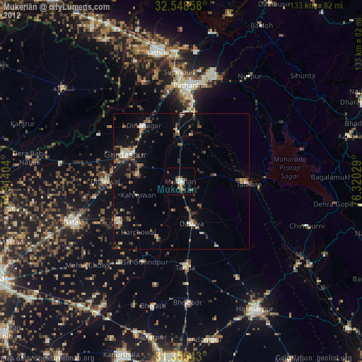
Mukeriān night lights from space
Night Light of Mukeriān (Punjab) from space (India) Src. Average luminocity for 10x10km area is 17.1084% and for 50x50km: 8.4319%.
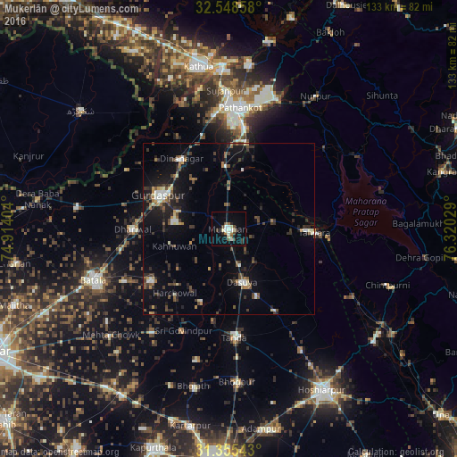
Analysis of Mukeriān night lights 2016
Square area 10x10 km:
 1.57%
1.57%90-99
3.67%80-89
2.45%70-79
0.17%60-69
1.92%50-59
1.57%40-49
3.5%30-39
1.92%20-29
3.15%10-19
7.87%0-9
72.2%Square area 50x50 km:
0.54%90-99
1.22%80-89
0.64%70-79
0.57%60-69
0.94%50-59
1.11%40-49
1.93%30-39
1.84%20-29
2.44%10-19
6.23%0-9
82.54%Clear (daylight) street map image can be seen on geolist.org.
Map coordinates:
32° 32' 54.9" North, 74° 54' 50.5" East
31° 57' 14.2" North, 75° 37' 1.8" East
31° 21' 19.5" North, 76° 19' 13" East
Some cities around Mukeriān sort by population:
• Pathānkot
35.8 km =22.2 mi,  5°
5°
• Talwāra
25.5 km =15.8 mi,  94°
94°
• Dīnānagar
24.4 km =15.2 mi,  326°
326°
• Qādiān
27 km =16.8 mi,  237°
237°
• Dasūya
15.6 km =9.7 mi,  167°
167°
• Dhāriwāl
27.7 km =17.2 mi,  270°
270°
• Garhdiwāla
27 km =16.8 mi,  151°
151°
• Hājipur
13.2 km =8.2 mi,  78°
78°
1262596 (p: 22,751)
Sources (retrieved 2019-11-25):
» Earth at Night: Flat Maps 2012, 2016