Talwāra night lights from space
Night Light of Talwāra (Punjab) from space (India) Src. Average luminocity for 10x10km area is 12.2098% and for 50x50km: 2.8913%.
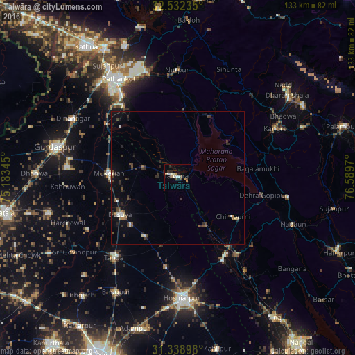
Analysis of Talwāra night lights 2016
Square area 10x10 km:
 1.57%
1.57%90-99
3.32%80-89
0%70-79
0.7%60-69
2.1%50-59
0.7%40-49
2.8%30-39
0.87%20-29
4.02%10-19
0.87%0-9
83.04%Square area 50x50 km:
0.22%90-99
0.39%80-89
0.2%70-79
0.11%60-69
0.32%50-59
0.36%40-49
0.69%30-39
0.74%20-29
0.78%10-19
1.48%0-9
94.71%Clear (daylight) street map image can be seen on geolist.org.
Map coordinates:
32° 31' 56.5" North, 75° 11' 0.4" East
31° 56' 15.4" North, 75° 53' 11.7" East
31° 20' 20.3" North, 76° 35' 22.9" East
Some cities around Talwāra sort by population:
• Mukeriān
25.5 km =15.8 mi,  274°
274°
• Dasūya
25.8 km =16 mi,  238°
238°
• Yol
38.6 km =24 mi,  49°
49°
• Kāngar
39.4 km =24.5 mi,  64°
64°
• Hariāna
33.9 km =21.1 mi,  187°
187°
• Garhdiwāla
25.1 km =15.6 mi,  209°
209°
• Nagrota
23.4 km =14.5 mi, 55°
• Hājipur
13.2 km =8.2 mi,  289°
289°
1255076 (p: 24,752)
Sources (retrieved 2019-11-25):
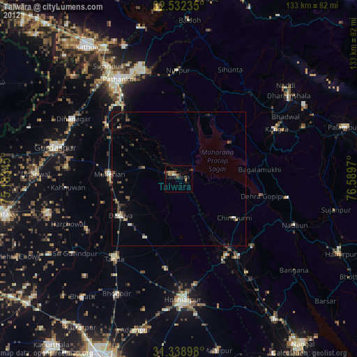
» Earth at Night: Flat Maps 2012, 2016