Kathua night lights from space
Night Light of Kathua (Jammu and Kashmir) from space (India) Src. Average luminocity for 10x10km area is 66.2747% and for 50x50km: 23.7588%.
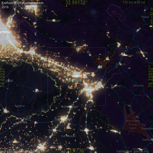
Analysis of Kathua night lights 2016
Square area 10x10 km:
 11.54%
90-99
17.58%80-89
6.78%70-79
7.51%60-69
12.82%50-59
11.9%40-49
13%30-39
13.92%20-29
4.95%10-19
0%0-9
0%Square area 50x50 km:
1.85%90-99
5.01%80-89
2.18%70-79
2.63%60-69
2.86%50-59
4.36%40-49
5.92%30-39
5.37%20-29
7.82%10-19
11.32%0-9
50.69%Clear (daylight) street map image can be seen on geolist.org.
Map coordinates:
32° 57' 40.8" North, 74° 49' 20.2" East
32° 22' 9.9" North, 75° 31' 31.4" East
31° 46' 25" North, 76° 13' 42.7" East
Some cities around Kathua sort by population:
• Pathānkot
15.9 km =9.9 mi,  131°
131°
• Shakargarh, PK
36.3 km =22.6 mi,  251°
251°
• Sāmba
43.7 km =27.2 mi,  299°
299°
• Dīnānagar
26.3 km =16.3 mi,  190°
190°
• Mukeriān
47 km =29.2 mi,  169°
169°
• Hirānagar
25.6 km =15.9 mi,  291°
291°
• Parol
8.9 km =5.5 mi, 253°
• Dalhousie
44.4 km =27.6 mi,  62°
62°
1267486 (p: 48,551)
Sources (retrieved 2019-11-25):
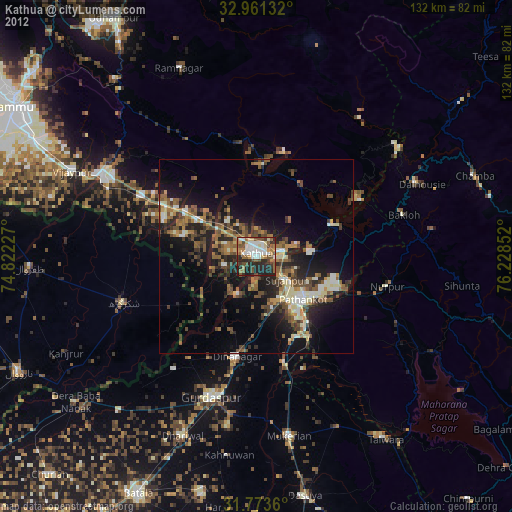
» Earth at Night: Flat Maps 2012, 2016